Arar night lights from space
Night Light of Arar (Northern Borders) from space (Saudi Arabia) Src. Average luminocity for 10x10km area is 83.5714% and for 50x50km: 8.4677%.
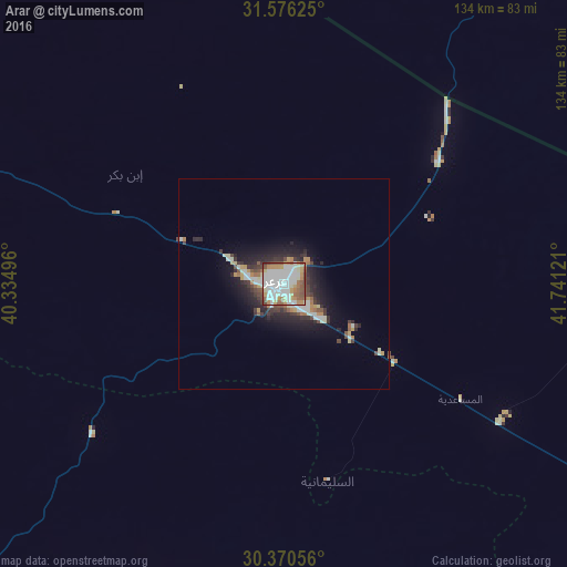
Analysis of Arar night lights 2016
Square area 10x10 km:
 30.77%
90-99
23.99%80-89
7.69%70-79
12.09%60-69
7.69%50-59
10.44%40-49
6.04%30-39
1.28%20-29
0%10-19
0%0-9
0%Square area 50x50 km:
1.64%90-99
1.62%80-89
0.78%70-79
1.01%60-69
0.93%50-59
0.9%40-49
1.08%30-39
1.33%20-29
2.54%10-19
4.64%0-9
83.53%Clear (daylight) street map image can be seen on geolist.org.
Map coordinates:
31° 34' 34.5" North, 40° 20' 5.9" East
30° 58' 31.1" North, 41° 2' 17.1" East
30° 22' 14" North, 41° 44' 28.4" East
Some cities around Arar sort by population:
• Najaf, IQ
334.7 km =208 mi,  69°
69°
• Karbala, IQ
336.1 km =208.8 mi,  57°
57°
• Sakakah
137.3 km =85.3 mi,  215°
215°
• Turaif
238.5 km =148.2 mi,  288°
288°
• Ţubarjal
274.8 km =170.8 mi,  258°
258°
• Hīt, IQ
340.3 km =211.5 mi,  29°
29°
• Ar Ruţbah, IQ
240 km =149.1 mi,  342°
342°
• Şuwayr
113.9 km =70.8 mi,  213°
213°
108512 (p: 148,540)
Sources (retrieved 2019-11-25):
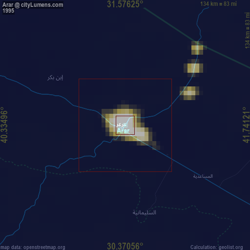
» NASA, Earths city lights 1995
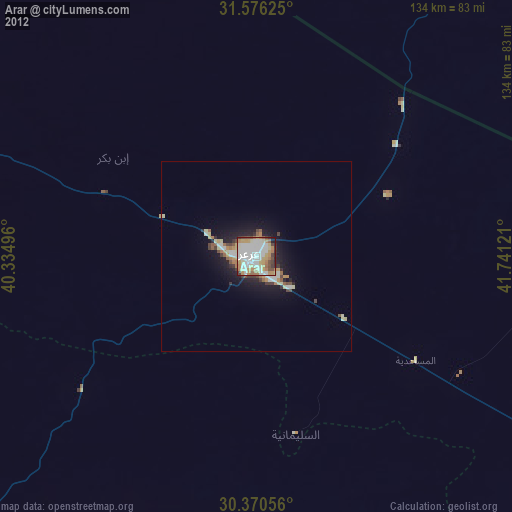
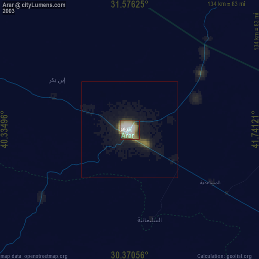
» NASA city lights 2003
» Earth at Night: Flat Maps 2012, 2016