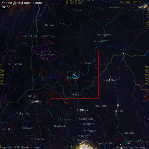
Kabale night lights from space
Night Light of Kabale (Western Region) from space (Uganda) Src. Average luminocity for 10x10km area is 1.3355% and for 50x50km: 0.0534%.

Analysis of Kabale night lights 2016
Square area 10x10 km:
 0%
0%90-99
0%80-89
0%70-79
0%60-69
0%50-59
0.65%40-49
0.87%30-39
0.22%20-29
1.73%10-19
0%0-9
96.54%Square area 50x50 km:
0%90-99
0%80-89
0%70-79
0%60-69
0%50-59
0.03%40-49
0.03%30-39
0.01%20-29
0.07%10-19
0%0-9
99.86%Clear (daylight) street map image can be seen on geolist.org.
Map coordinates:
0° 32' 43.9" South, 29° 17' 12.5" East
1° 14' 54.9" South, 29° 59' 23.7" East
1° 57' 5.1" South, 30° 41' 35" East
Some cities around Kabale sort by population:
• Musanze, RW
48.3 km =30 mi,  234°
234°
• Byumba, RW
37.4 km =23.2 mi,  166°
166°
• Nyachera
61.3 km =38.1 mi,  50°
50°
• Ntungamo
55.5 km =34.5 mi,  317°
317°
• Ntungamo
51.1 km =31.8 mi,  36°
36°
• Kanungu
39.3 km =24.4 mi,  325°
325°
• Rukungiri
45.6 km =28.3 mi,  353°
353°
• Kisoro
34.1 km =21.2 mi,  263°
263°
233070 (p: 43,500)
Sources (retrieved 2019-11-25):
» Earth at Night: Flat Maps 2012, 2016