Zilair night lights from space
Night Light of Zilair (Bashkortostan Republic) from space (Russia) Src. Average luminocity for 10x10km area is 0% and for 50x50km: 0%.
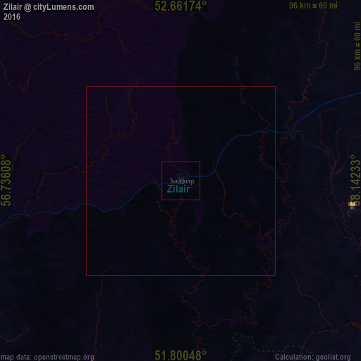
Analysis of Zilair night lights 2016
Square area 10x10 km:
 0%
0%90-99
0%80-89
0%70-79
0%60-69
0%50-59
0%40-49
0%30-39
0%20-29
0%10-19
0%0-9
100%Square area 50x50 km:
0%90-99
0%80-89
0%70-79
0%60-69
0%50-59
0%40-49
0%30-39
0%20-29
0%10-19
0%0-9
100%Clear (daylight) street map image can be seen on geolist.org.
Map coordinates:
52° 39' 42.3" North, 56° 44' 9.9" East
52° 13' 59.5" North, 57° 26' 21.1" East
51° 48' 1.7" North, 58° 8' 32.4" East
Some cities around Zilair sort by population:
• Mednogorsk
91.8 km =57 mi,  173°
173°
• Kuvandyk
84.2 km =52.3 mi,  183°
183°
• Baymak
72.1 km =44.8 mi,  56°
56°
• Saraktash
88.9 km =55.2 mi,  236°
236°
• Tyul’gan
87.4 km =54.3 mi,  277°
277°
• Mrakovo
77 km =47.8 mi,  314°
314°
• Isyangulovo
58.7 km =36.5 mi,  264°
264°
• Ak”yar
67.8 km =42.1 mi,  127°
127°
462626 (p: 5,872)
Sources (retrieved 2019-11-25):
» Earth at Night: Flat Maps 2012, 2016