Ak”yar night lights from space
Night Light of Ak”yar (Bashkortostan Republic) from space (Russia) Src. Average luminocity for 10x10km area is 0.2879% and for 50x50km: 0.032%.
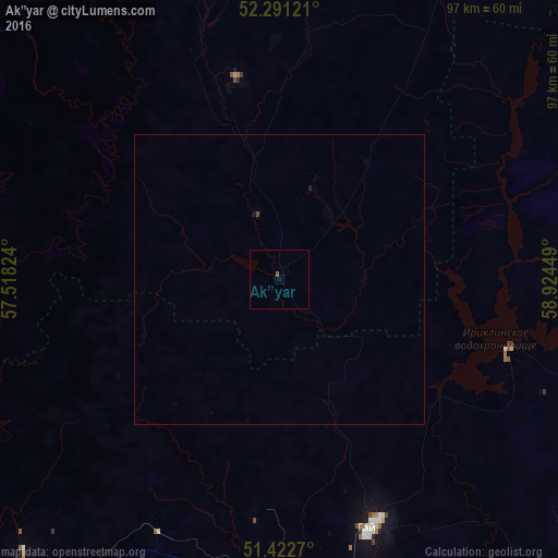
Analysis of Ak”yar night lights 2016
Square area 10x10 km:
 0%
0%90-99
0%80-89
0%70-79
0%60-69
0%50-59
0.51%40-49
0%30-39
0%20-29
0%10-19
0%0-9
99.49%Square area 50x50 km:
0%90-99
0%80-89
0%70-79
0%60-69
0%50-59
0.02%40-49
0.02%30-39
0%20-29
0%10-19
0.04%0-9
99.92%Clear (daylight) street map image can be seen on geolist.org.
Map coordinates:
52° 17' 28.4" North, 57° 31' 5.7" East
51° 51' 32.6" North, 58° 13' 16.9" East
51° 25' 21.7" North, 58° 55' 28.2" East
Some cities around Ak”yar sort by population:
• Orsk
76.6 km =47.6 mi,  161°
161°
• Novotroitsk
73.3 km =45.5 mi,  174°
174°
• Gay
46.5 km =28.9 mi, 159°
• Mednogorsk
65.8 km =40.9 mi,  221°
221°
• Kuvandyk
73.2 km =45.5 mi,  234°
234°
• Novoorsk
74.7 km =46.4 mi,  135°
135°
• Energetik
41.3 km =25.7 mi,  107°
107°
• Zilair
67.8 km =42.1 mi,  307°
307°
583509 (p: 5,549)
Sources (retrieved 2019-11-25):
» Earth at Night: Flat Maps 2012, 2016