Saraktash night lights from space
Night Light of Saraktash (Orenburg Oblast) from space (Russia) Src. Average luminocity for 10x10km area is 7.6036% and for 50x50km: 0.2963%.
Analysis of Saraktash night lights 2016
Square area 10x10 km:
 0%
0%90-99
0%80-89
0.84%70-79
1.26%60-69
3.36%50-59
1.4%40-49
1.54%30-39
1.68%20-29
1.12%10-19
0%0-9
88.8%Square area 50x50 km:
0%90-99
0%80-89
0.03%70-79
0.05%60-69
0.13%50-59
0.05%40-49
0.06%30-39
0.07%20-29
0.04%10-19
0%0-9
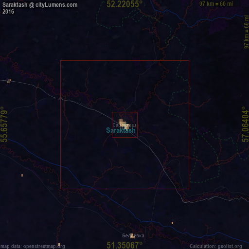
99.57%Clear (daylight) street map image can be seen on geolist.org.
Map coordinates:
52° 13' 14" North, 55° 39' 28" East
51° 47' 15.8" North, 56° 21' 39.3" East
51° 21' 2.4" North, 57° 3' 50.5" East
Some cities around Saraktash sort by population:
• Orenburg
86.8 km =53.9 mi,  268°
268°
• Mednogorsk
94.9 km =59 mi,  116°
116°
• Kuvandyk
76.8 km =47.7 mi, 116°
• Tyul’gan
62.9 km =39.1 mi,  347°
347°
• Isyangulovo
46.8 km =29.1 mi,  18°
18°
• Zilair
88.9 km =55.2 mi,  56°
56°
• Belyayevka
43.6 km =27.1 mi,  174°
174°
• Nezhinka
68.2 km =42.4 mi, 268°
498708 (p: 17,413)
Sources (retrieved 2019-11-25):
» Earth at Night: Flat Maps 2012, 2016