Zarinsk night lights from space
Night Light of Zarinsk (Altai Krai) from space (Russia) Src. Average luminocity for 10x10km area is 13.0341% and for 50x50km: 0.5736%.
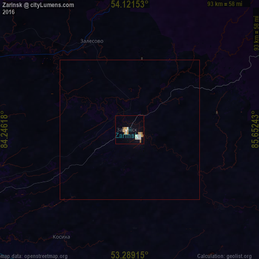
Analysis of Zarinsk night lights 2016
Square area 10x10 km:
 1.77%
1.77%90-99
3.41%80-89
1.26%70-79
2.15%60-69
2.4%50-59
1.14%40-49
0.25%30-39
0%20-29
0%10-19
1.14%0-9
86.49%Square area 50x50 km:
0.07%90-99
0.14%80-89
0.05%70-79
0.09%60-69
0.1%50-59
0.05%40-49
0.02%30-39
0%20-29
0%10-19
0.05%0-9
99.45%Clear (daylight) street map image can be seen on geolist.org.
Map coordinates:
54° 7' 17.5" North, 84° 14' 46.2" East
53° 42' 26.6" North, 84° 56' 57.5" East
53° 17' 20.9" North, 85° 39' 8.7" East
Some cities around Zarinsk sort by population:
• Novoaltaysk
75.6 km =47 mi,  242°
242°
• Sibirskiy
79.9 km =49.6 mi,  259°
259°
• Beloyarsk
74.8 km =46.5 mi,  247°
247°
• Zalesovo
34.6 km =21.5 mi,  336°
336°
• Borovikha
76.6 km =47.6 mi, 253°
• Sorokino
5.2 km =3.2 mi, 335°
• Kosikha
45.5 km =28.3 mi,  212°
212°
• Pervomayskoye
61.3 km =38.1 mi,  271°
271°
1485439 (p: 52,209)
Sources (retrieved 2019-11-25):
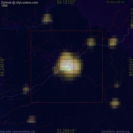
» NASA, Earths city lights 1995
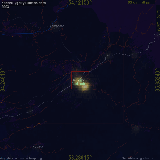
» NASA city lights 2003
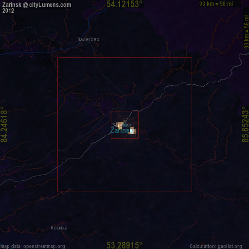
» Earth at Night: Flat Maps 2012, 2016