Beloyarsk night lights from space
Night Light of Beloyarsk (Altai Krai) from space (Russia) Src. Average luminocity for 10x10km area is 15.1336% and for 50x50km: 7.1123%.
Analysis of Beloyarsk night lights 2016
Square area 10x10 km:
 0.93%
0.93%90-99
1.72%80-89
1.85%70-79
2.12%60-69
1.59%50-59
4.63%40-49
1.19%30-39
1.19%20-29
2.78%10-19
15.61%0-9
66.4%Square area 50x50 km:
1.89%90-99
1.82%80-89
0.61%70-79
0.44%60-69
0.28%50-59
0.53%40-49
0.47%30-39
0.77%20-29
2.21%10-19
4.77%0-9
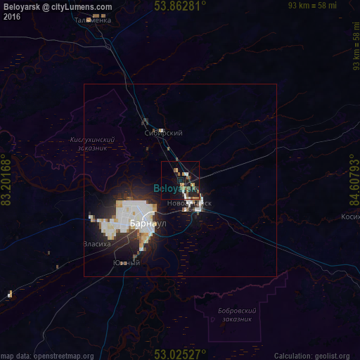
86.21%Clear (daylight) street map image can be seen on geolist.org.
Map coordinates:
53° 51' 46.1" North, 83° 12' 6" East
53° 26' 46" North, 83° 54' 17.3" East
53° 1' 31" North, 84° 36' 28.5" East
Some cities around Beloyarsk sort by population:
• Barnaul
13.3 km =8.3 mi,  224°
224°
• Novoaltaysk
6.4 km =4 mi,  160°
160°
• Yuzhnyy
25.5 km =15.8 mi,  213°
213°
• Novosilikatnyy
24 km =14.9 mi,  230°
230°
• Sibirskiy
17.6 km =10.9 mi,  326°
326°
• Borovikha
8.1 km =5 mi, 326°
• Kosikha
45.9 km =28.5 mi,  101°
101°
• Pervomayskoye
31.5 km =19.6 mi,  13°
13°
1510454 (p: 10,733)
Sources (retrieved 2019-11-25):
» Earth at Night: Flat Maps 2012, 2016