Sorokino night lights from space
Night Light of Sorokino (Altai Krai) from space (Russia) Src. Average luminocity for 10x10km area is 3.3371% and for 50x50km: 0.5788%.
Analysis of Sorokino night lights 2016
Square area 10x10 km:
 0.25%
0.25%90-99
0.51%80-89
0%70-79
1.01%60-69
0.76%50-59
0.51%40-49
0%30-39
0%20-29
0%10-19
0%0-9
96.97%Square area 50x50 km:
0.07%90-99
0.14%80-89
0.05%70-79
0.09%60-69
0.1%50-59
0.05%40-49
0.02%30-39
0%20-29
0.02%10-19
0.05%0-9
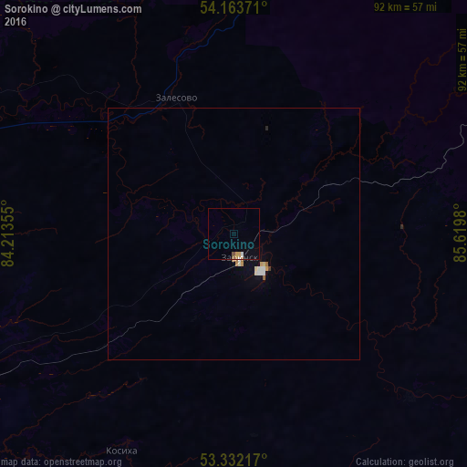
99.43%Clear (daylight) street map image can be seen on geolist.org.
Map coordinates:
54° 9' 49.4" North, 84° 12' 48.8" East
53° 45' 0" North, 84° 55' 0" East
53° 19' 55.8" North, 85° 37' 11.3" East
Some cities around Sorokino sort by population:
• Novoaltaysk
76 km =47.2 mi,  238°
238°
• Zarinsk
5.2 km =3.2 mi,  155°
155°
• Beloyarsk
74.8 km =46.5 mi, 243°
• Salair
78.6 km =48.8 mi,  47°
47°
• Zalesovo
29.4 km =18.3 mi,  337°
337°
• Borovikha
76.1 km =47.3 mi,  249°
249°
• Kosikha
48.5 km =30.1 mi,  207°
207°
• Pervomayskoye
59.2 km =36.8 mi,  266°
266°
1491378 (p: 6,203)
Sources (retrieved 2019-11-25):
» Earth at Night: Flat Maps 2012, 2016