Zalesovo night lights from space
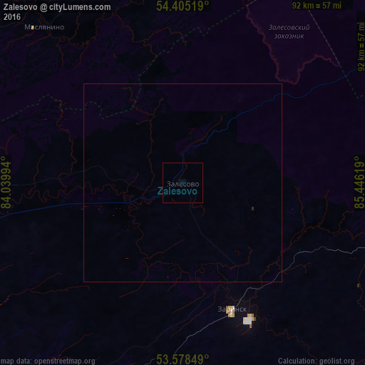
Night Light of Zalesovo (Altai Krai) from space (Russia) Src. Average luminocity for 10x10km area is 0% and for 50x50km: 0.0056%.
Analysis of Zalesovo night lights 2016
Square area 10x10 km:
 0%
0%90-99
0%80-89
0%70-79
0%60-69
0%50-59
0%40-49
0%30-39
0%20-29
0%10-19
0%0-9
100%Square area 50x50 km:
0%90-99
0%80-89
0%70-79
0%60-69
0%50-59
0%40-49
0%30-39
0%20-29
0.02%10-19
0%0-9
99.98%Clear (daylight) street map image can be seen on geolist.org.
Map coordinates:
54° 24' 18.7" North, 84° 2' 23.8" East
53° 59' 38" North, 84° 44' 35" East
53° 34' 42.6" North, 85° 26' 46.3" East
Some cities around Zalesovo sort by population:
• Zarinsk
34.6 km =21.5 mi,  156°
156°
• Tal’menka
79.4 km =49.3 mi,  255°
255°
• Maslyanino
52.1 km =32.4 mi,  318°
318°
• Sibirskiy
79.6 km =49.5 mi,  234°
234°
• Salair
73.6 km =45.7 mi,  68°
68°
• Sorokino
29.4 km =18.3 mi, 157°
• Kosikha
71.1 km =44.2 mi,  188°
188°
• Pervomayskoye
56.4 km =35 mi,  237°
237°
1485528 (p: 7,936)
Sources (retrieved 2019-11-25):
» Earth at Night: Flat Maps 2012, 2016