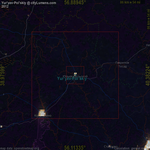
Yur’yev-Pol’skiy night lights from space
Night Light of Yur’yev-Pol’skiy (Vladimir) from space (Russia) Src. Average luminocity for 10x10km area is 0% and for 50x50km: 0.5394%.
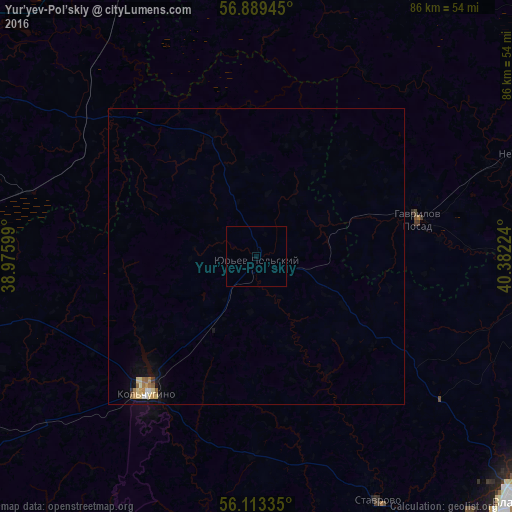
Analysis of Yur’yev-Pol’skiy night lights 2016
Square area 10x10 km:
 0%
0%90-99
0%80-89
0%70-79
0%60-69
0%50-59
0%40-49
0%30-39
0%20-29
0%10-19
0%0-9
100%Square area 50x50 km:
0.02%90-99
0.08%80-89
0.16%70-79
0.09%60-69
0.09%50-59
0.09%40-49
0%30-39
0.04%20-29
0%10-19
0.34%0-9
99.09%Clear (daylight) street map image can be seen on geolist.org.
Map coordinates:
56° 53' 22" North, 38° 58' 33.6" East
56° 30' 12.2" North, 39° 40' 44.8" East
56° 6' 48.1" North, 40° 22' 56.1" East
Some cities around Yur’yev-Pol’skiy sort by population:
• Kol’chugino
29.1 km =18.1 mi,  218°
218°
• Pereslavl’-Zalesskiy
56.8 km =35.3 mi,  297°
297°
• Lakinsk
56.3 km =35 mi,  162°
162°
• Suzdal’
48 km =29.8 mi,  100°
100°
• Balakirevo
51.3 km =31.9 mi,  270°
270°
• Kideksha
52.5 km =32.6 mi, 99°
• Stavrovo
46 km =28.6 mi,  153°
153°
• Gavrilov Posad
27.8 km =17.3 mi,  77°
77°
466215 (p: 19,906)
Sources (retrieved 2019-11-25):
» Earth at Night: Flat Maps 2012, 2016