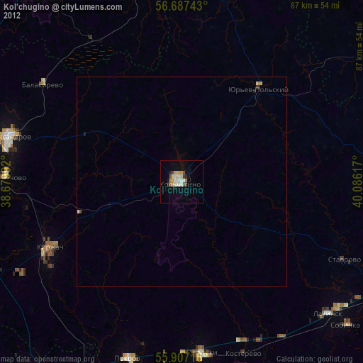
Kol’chugino night lights from space
Night Light of Kol’chugino (Vladimir) from space (Russia) Src. Average luminocity for 10x10km area is 14.9286% and for 50x50km: 0.6042%.
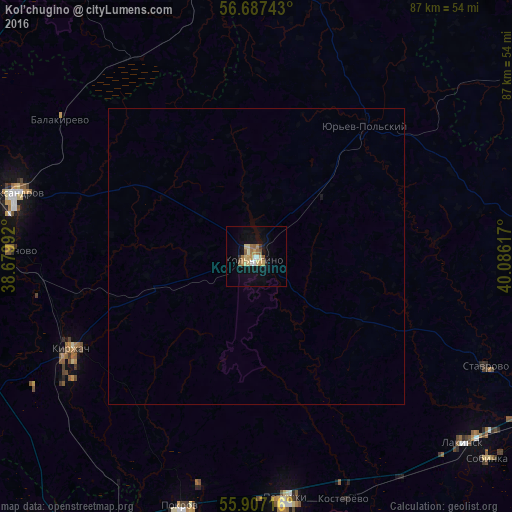
Analysis of Kol’chugino night lights 2016
Square area 10x10 km:
 0.5%
0.5%90-99
2.01%80-89
4.14%70-79
2.38%60-69
2.51%50-59
2.51%40-49
0%30-39
1%20-29
0%10-19
10.28%0-9
74.69%Square area 50x50 km:
0.02%90-99
0.08%80-89
0.16%70-79
0.09%60-69
0.1%50-59
0.1%40-49
0%30-39
0.04%20-29
0%10-19
0.41%0-9
99.01%Clear (daylight) street map image can be seen on geolist.org.
Map coordinates:
56° 41' 14.7" North, 38° 40' 47.7" East
56° 17' 57.4" North, 39° 22' 58.9" East
55° 54' 25.8" North, 40° 5' 10.2" East
Some cities around Kol’chugino sort by population:
• Aleksandrov
42.7 km =26.5 mi,  284°
284°
• Kirzhach
36.5 km =22.7 mi,  243°
243°
• Yur’yev-Pol’skiy
29.1 km =18.1 mi,  38°
38°
• Petushki
41.7 km =25.9 mi,  173°
173°
• Karabanovo
42.2 km =26.2 mi,  272°
272°
• Krasnyy Oktyabr’
37 km =23 mi, 236°
• Balakirevo
40.4 km =25.1 mi,  304°
304°
• Stavrovo
43.1 km =26.8 mi,  115°
115°
546521 (p: 45,912)
Sources (retrieved 2019-11-25):
» Earth at Night: Flat Maps 2012, 2016