Gavrilov Posad night lights from space
Night Light of Gavrilov Posad (Ivanovo) from space (Russia) Src. Average luminocity for 10x10km area is 1.4136% and for 50x50km: 0.4869%.
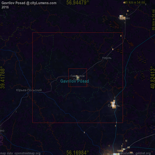
Analysis of Gavrilov Posad night lights 2016
Square area 10x10 km:
 0%
0%90-99
0%80-89
0%70-79
0%60-69
0.45%50-59
0.23%40-49
0.8%30-39
1.25%20-29
0.45%10-19
0%0-9
96.82%Square area 50x50 km:
0.07%90-99
0.06%80-89
0%70-79
0.09%60-69
0.08%50-59
0.12%40-49
0.05%30-39
0.07%20-29
0.04%10-19
0.07%0-9
99.36%Clear (daylight) street map image can be seen on geolist.org.
Map coordinates:
56° 56' 41.2" North, 39° 25' 4.4" East
56° 33' 33.5" North, 40° 7' 15.6" East
56° 10' 11.4" North, 40° 49' 26.9" East
Some cities around Gavrilov Posad sort by population:
• Vladimir
50 km =31.1 mi,  160°
160°
• Kol’chugino
53.8 km =33.4 mi,  237°
237°
• Teykovo
41.8 km =26 mi,  37°
37°
• Yur’yev-Pol’skiy
27.8 km =17.3 mi,  257°
257°
• Suzdal’
25.1 km =15.6 mi,  127°
127°
• Kideksha
28.8 km =17.9 mi,  121°
121°
• Lezhnevo
52.9 km =32.9 mi,  63°
63°
• Stavrovo
47.9 km =29.8 mi,  187°
187°
561783 (p: 6,948)
Sources (retrieved 2019-11-25):
» Earth at Night: Flat Maps 2012, 2016