Yekaterinovka night lights from space
Night Light of Yekaterinovka (Saratovskaya Oblast) from space (Russia) Src. Average luminocity for 10x10km area is 0.1679% and for 50x50km: 0.0274%.
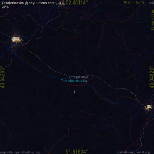
Analysis of Yekaterinovka night lights 2016
Square area 10x10 km:
 0%
0%90-99
0%80-89
0%70-79
0%60-69
0%50-59
0%40-49
0%30-39
0.51%20-29
0%10-19
0%0-9
99.49%Square area 50x50 km:
0%90-99
0%80-89
0%70-79
0%60-69
0.02%50-59
0%40-49
0%30-39
0.02%20-29
0.02%10-19
0%0-9
99.94%Clear (daylight) street map image can be seen on geolist.org.
Map coordinates:
52° 28' 52.1" North, 43° 38' 31.3" East
52° 3' 3" North, 44° 20' 42.5" East
51° 36' 58.8" North, 45° 2' 53.8" East
Some cities around Yekaterinovka sort by population:
• Rtishchevo
44.6 km =27.7 mi,  301°
301°
• Serdobsk
46.2 km =28.7 mi,  349°
349°
• Atkarsk
49.6 km =30.8 mi,  113°
113°
• Kalininsk
61.9 km =38.5 mi,  171°
171°
• Arkadak
59.5 km =37 mi,  257°
257°
• Kolyshley
73.4 km =45.6 mi,  10°
10°
• Lysyye Gory
65.3 km =40.6 mi,  148°
148°
• Bekovo
63.2 km =39.3 mi,  316°
316°
468180 (p: 6,435)
Sources (retrieved 2019-11-25):
» Earth at Night: Flat Maps 2012, 2016