Rtishchevo night lights from space
Night Light of Rtishchevo (Saratovskaya Oblast) from space (Russia) Src. Average luminocity for 10x10km area is 13.1878% and for 50x50km: 0.5386%.

Analysis of Rtishchevo night lights 2016
Square area 10x10 km:
 0.93%
0.93%90-99
1.98%80-89
1.06%70-79
2.38%60-69
3.84%50-59
2.25%40-49
0.79%30-39
0.13%20-29
0.66%10-19
4.1%0-9
81.88%Square area 50x50 km:
0.04%90-99
0.08%80-89
0.04%70-79
0.09%60-69
0.15%50-59
0.09%40-49
0.03%30-39
0.01%20-29
0.03%10-19
0.16%0-9
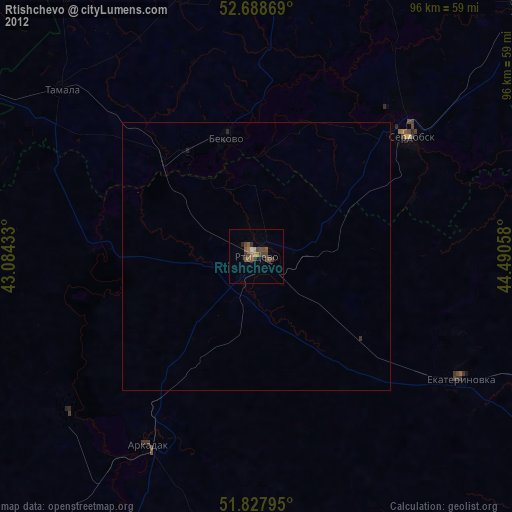
99.29%Clear (daylight) street map image can be seen on geolist.org.
Map coordinates:
52° 41' 19.3" North, 43° 5' 3.6" East
52° 15' 37.5" North, 43° 47' 14.8" East
51° 49' 40.6" North, 44° 29' 26.1" East
Some cities around Rtishchevo sort by population:
• Serdobsk
36.6 km =22.7 mi,  52°
52°
• Arkadak
41.5 km =25.8 mi,  208°
208°
• Belinskiy
82.2 km =51.1 mi,  342°
342°
• Kolyshley
70.5 km =43.8 mi, 46°
• Tamala
47.9 km =29.8 mi,  310°
310°
• Turki
46.4 km =28.8 mi,  229°
229°
• Bekovo
23.5 km =14.6 mi,  347°
347°
• Yekaterinovka
44.6 km =27.7 mi,  121°
121°
500886 (p: 44,013)
Sources (retrieved 2019-11-25):
» Earth at Night: Flat Maps 2012, 2016