Arkadak night lights from space
Night Light of Arkadak (Saratovskaya Oblast) from space (Russia) Src. Average luminocity for 10x10km area is 0.3712% and for 50x50km: 0.0292%.
Analysis of Arkadak night lights 2016
Square area 10x10 km:
 0%
0%90-99
0%80-89
0%70-79
0%60-69
0%50-59
0.25%40-49
0.25%30-39
0%20-29
0.13%10-19
0.38%0-9
98.99%Square area 50x50 km:
0%90-99
0%80-89
0%70-79
0%60-69
0.02%50-59
0.01%40-49
0.01%30-39
0%20-29
0.01%10-19
0.02%0-9
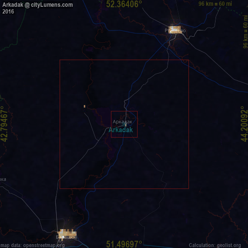
99.94%Clear (daylight) street map image can be seen on geolist.org.
Map coordinates:
52° 21' 50.6" North, 42° 47' 40.8" East
51° 55' 57.4" North, 43° 29' 52" East
51° 29' 49.1" North, 44° 12' 3.3" East
Some cities around Arkadak sort by population:
• Balashov
48.2 km =30 mi,  208°
208°
• Rtishchevo
41.5 km =25.8 mi,  28°
28°
• Tamala
69.7 km =43.3 mi,  346°
346°
• Muchkapskiy
71 km =44.1 mi,  262°
262°
• Romanovka
55.3 km =34.4 mi,  247°
247°
• Turki
16.5 km =10.3 mi,  291°
291°
• Bekovo
61.1 km =38 mi,  13°
13°
• Yekaterinovka
59.5 km =37 mi,  77°
77°
581080 (p: 14,392)
Sources (retrieved 2019-11-25):
» Earth at Night: Flat Maps 2012, 2016