Kolyshley night lights from space
Night Light of Kolyshley (Penza) from space (Russia) Src. Average luminocity for 10x10km area is 0.3175% and for 50x50km: 0.0458%.
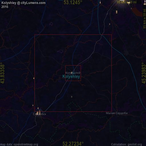
Analysis of Kolyshley night lights 2016
Square area 10x10 km:
 0%
0%90-99
0%80-89
0%70-79
0%60-69
0%50-59
0.53%40-49
0%30-39
0%20-29
0%10-19
0%0-9
99.47%Square area 50x50 km:
0%90-99
0%80-89
0%70-79
0%60-69
0.02%50-59
0.02%40-49
0.02%30-39
0%20-29
0.02%10-19
0%0-9
99.92%Clear (daylight) street map image can be seen on geolist.org.
Map coordinates:
53° 7' 28.2" North, 43° 50' 0.9" East
52° 42' 1.8" North, 44° 32' 12.1" East
52° 16' 20.4" North, 45° 14' 23.4" East
Some cities around Kolyshley sort by population:
• Penza
63.8 km =39.6 mi,  29°
29°
• Zarechnyy
71.1 km =44.2 mi,  38°
38°
• Rtishchevo
70.5 km =43.8 mi,  226°
226°
• Serdobsk
34.5 km =21.4 mi,  218°
218°
• Petrovsk
72.6 km =45.1 mi,  127°
127°
• Bekovo
61.5 km =38.2 mi,  244°
244°
• Shemysheyka
61.4 km =38.2 mi,  69°
69°
• Yekaterinovka
73.4 km =45.6 mi,  190°
190°
545982 (p: 8,371)
Sources (retrieved 2019-11-25):
» Earth at Night: Flat Maps 2012, 2016