Lysyye Gory night lights from space
Night Light of Lysyye Gory (Saratovskaya Oblast) from space (Russia) Src. Average luminocity for 10x10km area is 0.6992% and for 50x50km: 0.1574%.
Analysis of Lysyye Gory night lights 2016
Square area 10x10 km:
 0%
0%90-99
0%80-89
0%70-79
0%60-69
0%50-59
0%40-49
0.53%30-39
1.07%20-29
0%10-19
0%0-9
98.4%Square area 50x50 km:
0.02%90-99
0.02%80-89
0%70-79
0%60-69
0.02%50-59
0.05%40-49
0.08%30-39
0.04%20-29
0%10-19
0%0-9
99.77%Clear (daylight) street map image can be seen on geolist.org.
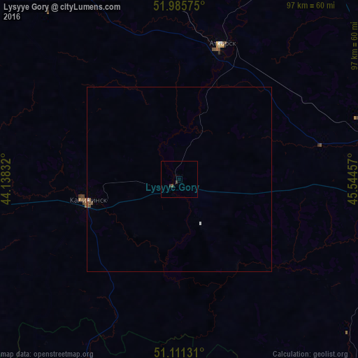
Map coordinates:
51° 59' 8.7" North, 44° 8' 18" East
51° 33' 2.3" North, 44° 50' 29.2" East
51° 6' 40.7" North, 45° 32' 40.5" East
Some cities around Lysyye Gory sort by population:
• Saratov
80.7 km =50.1 mi,  90°
90°
• Atkarsk
37.5 km =23.3 mi,  17°
17°
• Kalininsk
25.9 km =16.1 mi,  257°
257°
• Zhirnovsk
63.1 km =39.2 mi,  184°
184°
• Svetlyy
56.2 km =34.9 mi,  75°
75°
• Tatishchevo
53.7 km =33.4 mi, 75°
• Yekaterinovka
65.3 km =40.6 mi,  328°
328°
• Sokolovyy
68.6 km =42.6 mi, 88°
532664 (p: 7,501)
Sources (retrieved 2019-11-25):
» Earth at Night: Flat Maps 2012, 2016