Igra night lights from space
Night Light of Igra (Udmurtiya Republic) from space (Russia) Src. Average luminocity for 10x10km area is 8.9107% and for 50x50km: 0.4993%.
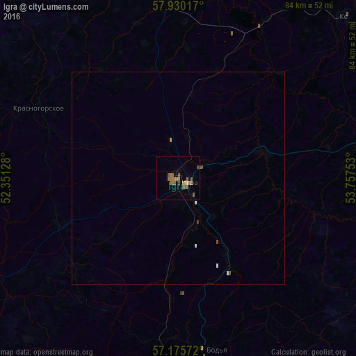
Analysis of Igra night lights 2016
Square area 10x10 km:
 0%
0%90-99
0%80-89
0.6%70-79
0.36%60-69
4.64%50-59
3.93%40-49
2.26%30-39
0.6%20-29
0%10-19
0%0-9
87.62%Square area 50x50 km:
0.05%90-99
0.03%80-89
0.02%70-79
0.03%60-69
0.19%50-59
0.16%40-49
0.15%30-39
0.04%20-29
0%10-19
0%0-9
99.33%Clear (daylight) street map image can be seen on geolist.org.
Map coordinates:
57° 55' 48.6" North, 52° 21' 4.6" East
57° 33' 17.6" North, 53° 3' 15.8" East
57° 10' 32.6" North, 53° 45' 27.1" East
Some cities around Igra sort by population:
• Izhevsk
78.9 km =49 mi,  173°
173°
• Glazov
69.1 km =42.9 mi,  340°
340°
• Votkinsk
79.4 km =49.3 mi,  135°
135°
• Balezino
47.2 km =29.3 mi,  357°
357°
• Kez
54.5 km =33.9 mi,  45°
45°
• Sharkan
56.6 km =35.2 mi,  120°
120°
• Debesy
46.2 km =28.7 mi,  76°
76°
• Selty
61.3 km =38.1 mi,  243°
243°
557469 (p: 22,033)
Sources (retrieved 2019-11-25):
» Earth at Night: Flat Maps 2012, 2016