Volkhov night lights from space
Night Light of Volkhov (Leningradskaya Oblast') from space (Russia) Src. Average luminocity for 10x10km area is 22.6472% and for 50x50km: 2.7137%.
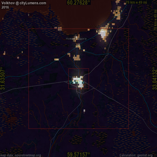
Analysis of Volkhov night lights 2016
Square area 10x10 km:
 5.63%
5.63%90-99
6.71%80-89
2.81%70-79
0.65%60-69
0.43%50-59
0%40-49
0.87%30-39
0.87%20-29
4.87%10-19
25.43%0-9
51.73%Square area 50x50 km:
0.42%90-99
0.44%80-89
0.28%70-79
0.2%60-69
0.21%50-59
0.77%40-49
0.14%30-39
0.18%20-29
0.4%10-19
2.17%0-9
94.79%Clear (daylight) street map image can be seen on geolist.org.
Map coordinates:
60° 16' 34.6" North, 31° 38' 6.3" East
59° 55' 32.9" North, 32° 20' 17.5" East
59° 34' 17.7" North, 33° 2' 28.8" East
Some cities around Volkhov sort by population:
• Tikhvin
73.6 km =45.7 mi,  115°
115°
• Kirishi
56.1 km =34.9 mi,  198°
198°
• Syas’stroy
26.7 km =16.6 mi,  28°
28°
• Shlissel’burg
72.4 km =45 mi,  271°
271°
• Imeni Morozova
72.6 km =45.1 mi, 274°
• Novaya Ladoga
19.7 km =12.2 mi,  354°
354°
• Mga
73.7 km =45.8 mi,  254°
254°
• Priladozhskiy
57.2 km =35.5 mi,  264°
264°
472722 (p: 45,673)
Sources (retrieved 2019-11-25):
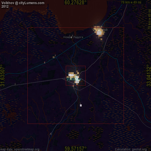
» Earth at Night: Flat Maps 2012, 2016