Shlissel’burg night lights from space
Night Light of Shlissel’burg (Leningradskaya Oblast') from space (Russia) Src. Average luminocity for 10x10km area is 11.0271% and for 50x50km: 7.3908%.
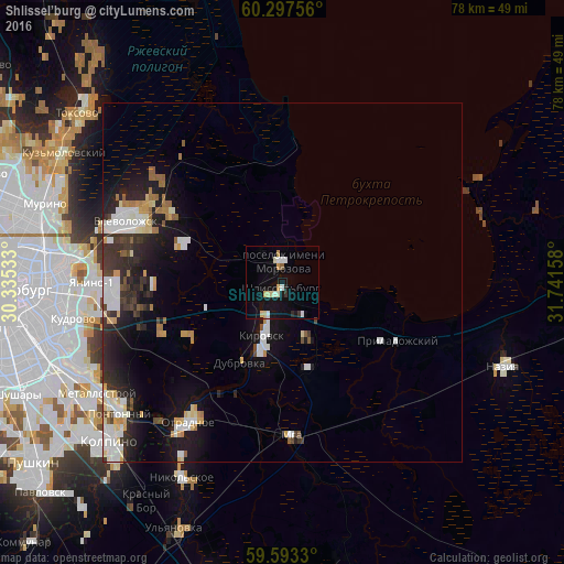
Analysis of Shlissel’burg night lights 2016
Square area 10x10 km:
 0.97%
0.97%90-99
2.92%80-89
2.16%70-79
1.3%60-69
0%50-59
0.43%40-49
0%30-39
0.87%20-29
0.87%10-19
10.61%0-9
79.87%Square area 50x50 km:
1.34%90-99
1.64%80-89
0.77%70-79
0.69%60-69
0.61%50-59
0.51%40-49
0.54%30-39
1.13%20-29
2.35%10-19
5.38%0-9
85.03%Clear (daylight) street map image can be seen on geolist.org.
Map coordinates:
60° 17' 51.2" North, 30° 20' 7.2" East
59° 56' 50.3" North, 31° 2' 18.4" East
59° 35' 35.9" North, 31° 44' 29.7" East
Some cities around Shlissel’burg sort by population:
• Vsevolozhsk
21.7 km =13.5 mi,  290°
290°
• Kirovsk
7.8 km =4.8 mi,  198°
198°
• Otradnoye
22.5 km =14 mi,  213°
213°
• Imeni Morozova
3.2 km =2 mi,  359°
359°
• Koltushi
22 km =13.7 mi,  264°
264°
• Mga
22 km =13.7 mi,  175°
175°
• Romanovka
21 km =13 mi,  300°
300°
• Priladozhskiy
17.7 km =11 mi,  118°
118°
493970 (p: 12,115)
Sources (retrieved 2019-11-25):
» Earth at Night: Flat Maps 2012, 2016