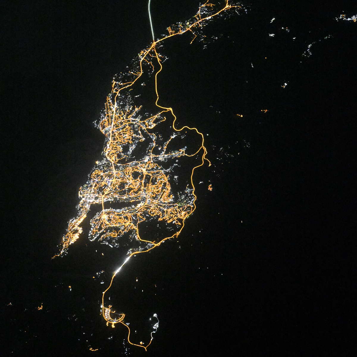
Vladivostok night lights from space
Night Light of Vladivostok (Primorskiy (Maritime) Kray) from space (Russia) Src. Average luminocity for 10x10km area is 55.947% and for 50x50km: 10.1347%.
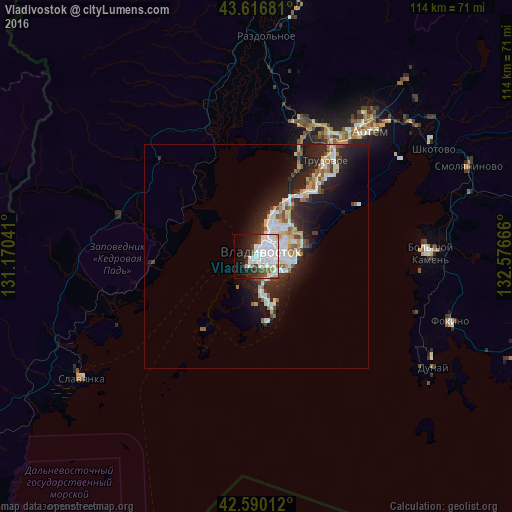
Analysis of Vladivostok night lights 2016
Square area 10x10 km:
 26.82%
90-99
13.64%80-89
3.64%70-79
1.06%60-69
1.67%50-59
3.18%40-49
5.61%30-39
4.24%20-29
10.15%10-19
13.64%0-9
16.36%Square area 50x50 km:
2.29%90-99
2.16%80-89
1.03%70-79
0.76%60-69
0.89%50-59
1.04%40-49
0.96%30-39
1.08%20-29
4.03%10-19
6.68%0-9
79.07%Clear (daylight) street map image can be seen on geolist.org.
Map coordinates:
43° 37' 0.5" North, 131° 10' 13.5" East
43° 6' 20.2" North, 131° 52' 24.7" East
42° 35' 24.4" North, 132° 34' 36" East
Fantastic image of Vladivostok from space taken by astronauts [src2], but I don't have information about it's orientation, scale or angle. If necessary, it was rotated manually, so North points approximately to upper direction. Click to zoom in:
Some cities around Vladivostok sort by population:
• ArtĂ«m
38.1 km =23.7 mi,  42°
42°
• Bol’shoy Kamen’
39 km =24.2 mi,  88°
88°
• Trudovoye
26.6 km =16.5 mi, 36°
• Uglovoye
30.2 km =18.8 mi, 35°
• Tavrichanka
24.5 km =15.2 mi,  357°
357°
• Vol’no-Nadezhdinskoye
31.6 km =19.6 mi,  18°
18°
• Novyy
31.2 km =19.4 mi, 22°
• Russkiy
9.3 km =5.8 mi,  186°
186°
2013348 (p: 587,022)
Sources (retrieved 2019-11-25):
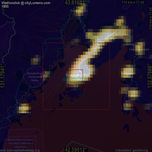
» NASA, Earths city lights 1995
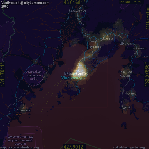
» NASA city lights 2003
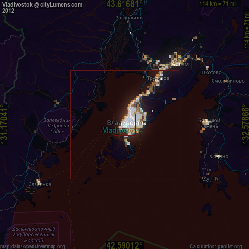
» Earth at Night: Flat Maps 2012, 2016
Src.2: picture by Oleg Kononenko, Roscosmos, retrieved 2019-11-29