Bol’shoy Kamen’ night lights from space
Night Light of Bol’shoy Kamen’ (Primorskiy (Maritime) Kray) from space (Russia) Src. Average luminocity for 10x10km area is 11.8864% and for 50x50km: 2.8734%.
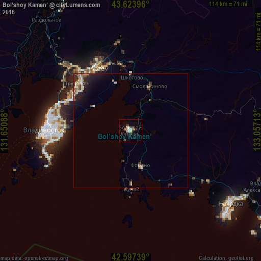
Analysis of Bol’shoy Kamen’ night lights 2016
Square area 10x10 km:
 1.36%
1.36%90-99
2.27%80-89
2.42%70-79
0.61%60-69
1.21%50-59
1.52%40-49
0.91%30-39
1.36%20-29
2.27%10-19
1.06%0-9
85%Square area 50x50 km:
0.28%90-99
0.53%80-89
0.31%70-79
0.24%60-69
0.35%50-59
0.39%40-49
0.34%30-39
0.47%20-29
1.13%10-19
1.81%0-9
94.16%Clear (daylight) street map image can be seen on geolist.org.
Map coordinates:
43° 37' 26.3" North, 131° 39' 3.2" East
43° 6' 46.2" North, 132° 21' 14.4" East
42° 35' 50.6" North, 133° 3' 25.7" East
Some cities around Bol’shoy Kamen’ sort by population:
• Artëm
30.5 km =19 mi,  334°
334°
• Fokino
16 km =9.9 mi,  164°
164°
• Trudovoye
31 km =19.3 mi,  311°
311°
• Livadiya
37.6 km =23.4 mi,  136°
136°
• Uglovoye
32.2 km =20 mi,  318°
318°
• Dunay
26.1 km =16.2 mi,  183°
183°
• Smolyaninovo
21.2 km =13.2 mi,  22°
22°
• Shkotovo
23.1 km =14.4 mi,  0°
0°
2026303 (p: 38,100)
Sources (retrieved 2019-11-25):
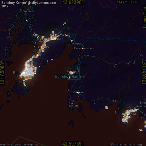
» Earth at Night: Flat Maps 2012, 2016