Vaskelovo night lights from space
Night Light of Vaskelovo (Leningradskaya Oblast') from space (Russia) Src. Average luminocity for 10x10km area is 12.1526% and for 50x50km: 5.777%.
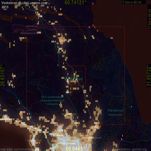
Analysis of Vaskelovo night lights 2016
Square area 10x10 km:
 0.22%
0.22%90-99
0.65%80-89
0%70-79
0.43%60-69
5.84%50-59
7.14%40-49
0%30-39
0%20-29
0%10-19
6.49%0-9
79.22%Square area 50x50 km:
0.07%90-99
0.26%80-89
0.32%70-79
0.93%60-69
2.81%50-59
1.22%40-49
0.1%30-39
0%20-29
1.28%10-19
5.58%0-9
87.43%Clear (daylight) street map image can be seen on geolist.org.
Map coordinates:
60° 44' 28.4" North, 29° 39' 3.9" East
60° 23' 44.6" North, 30° 21' 15.1" East
60° 2' 47.4" North, 31° 3' 26.4" East
Some cities around Vaskelovo sort by population:
• Kurortnyy
35.5 km =22.1 mi,  223°
223°
• Sertolovo
29.2 km =18.1 mi,  196°
196°
• Pargolovo
35.2 km =21.9 mi,  187°
187°
• Pesochnyy
32.1 km =19.9 mi, 199°
• Bugry
36.1 km =22.4 mi,  176°
176°
• Sosnovo
18.9 km =11.7 mi,  336°
336°
• Toksovo
28.4 km =17.6 mi,  161°
161°
• Agalatovo
20.1 km =12.5 mi, 192°
476500 (p: 12,388)
Sources (retrieved 2019-11-25):
» Earth at Night: Flat Maps 2012, 2016