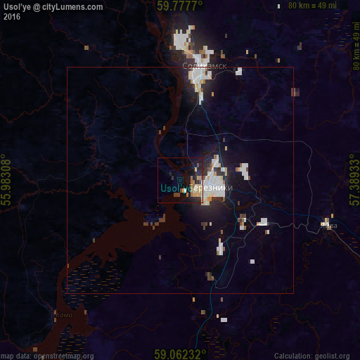
Usol’ye night lights from space
Night Light of Usol’ye (Perm) from space (Russia) Src. Average luminocity for 10x10km area is 14.0768% and for 50x50km: 4.9442%.
Analysis of Usol’ye night lights 2016
Square area 10x10 km:
 0.54%
0.54%90-99
1.08%80-89
3.57%70-79
2.06%60-69
3.14%50-59
1.19%40-49
1.95%30-39
0.97%20-29
5.3%10-19
12.12%0-9
68.07%Square area 50x50 km:
1.14%90-99
1.13%80-89
0.45%70-79
0.34%60-69
0.2%50-59
0.26%40-49
0.35%30-39
0.59%20-29
1.42%10-19
3.63%0-9
90.48%Clear (daylight) street map image can be seen on geolist.org.
Map coordinates:
59° 46' 39.7" North, 55° 58' 59.1" East
59° 25' 18.8" North, 56° 41' 10.3" East
59° 3' 44.4" North, 57° 23' 21.6" East
Some cities around Usol’ye sort by population:
• Berezniki
7.7 km =4.8 mi,  100°
100°
• Solikamsk
23.8 km =14.8 mi,  11°
11°
• Dobryanka
107.6 km =66.9 mi,  188°
188°
• Gubakha
81.6 km =50.7 mi,  142°
142°
• Kizel
68.8 km =42.8 mi,  127°
127°
• Aleksandrovsk
58.1 km =36.1 mi,  120°
120°
• Yayva
33.9 km =21.1 mi,  106°
106°
• Ugleural’skiy
74.1 km =46 mi, 135°
478269 (p: 5,400)
Sources (retrieved 2019-11-25):
» Earth at Night: Flat Maps 2012, 2016