Kizel night lights from space
Night Light of Kizel (Perm) from space (Russia) Src. Average luminocity for 10x10km area is 8.6277% and for 50x50km: 1.5746%.
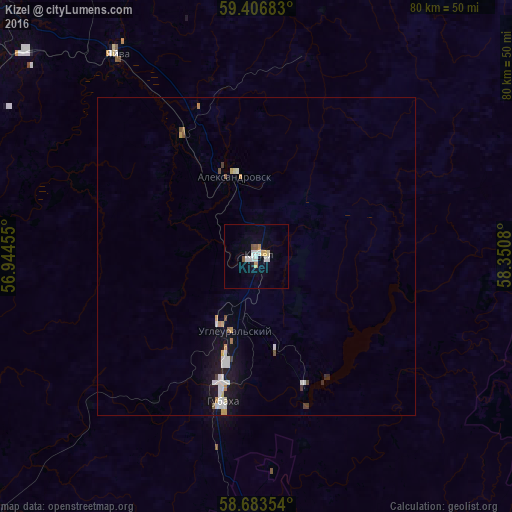
Analysis of Kizel night lights 2016
Square area 10x10 km:
 2.16%
2.16%90-99
1.73%80-89
0.76%70-79
1.41%60-69
0%50-59
1.19%40-49
0.11%30-39
0%20-29
0%10-19
0.65%0-9
91.99%Square area 50x50 km:
0.36%90-99
0.32%80-89
0.11%70-79
0.23%60-69
0.09%50-59
0.14%40-49
0.09%30-39
0.1%20-29
0.03%10-19
1.19%0-9
97.35%Clear (daylight) street map image can be seen on geolist.org.
Map coordinates:
59° 24' 24.6" North, 56° 56' 40.4" East
59° 2' 49.5" North, 57° 38' 51.6" East
58° 41' 0.7" North, 58° 21' 2.9" East
Some cities around Kizel sort by population:
• Berezniki
61.9 km =38.5 mi,  310°
310°
• Solikamsk
81.9 km =50.9 mi,  322°
322°
• Gubakha
23.8 km =14.8 mi,  193°
193°
• Aleksandrovsk
13.1 km =8.1 mi,  340°
340°
• Gremyachinsk
55.4 km =34.4 mi,  167°
167°
• Yayva
38.9 km =24.2 mi,  325°
325°
• Ugleural’skiy
11.8 km =7.3 mi,  195°
195°
• Usol’ye
68.8 km =42.8 mi, 307°
547875 (p: 21,807)
Sources (retrieved 2019-11-25):
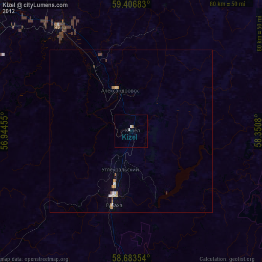
» Earth at Night: Flat Maps 2012, 2016