Gubakha night lights from space
Night Light of Gubakha (Perm) from space (Russia) Src. Average luminocity for 10x10km area is 14.4195% and for 50x50km: 1.4431%.
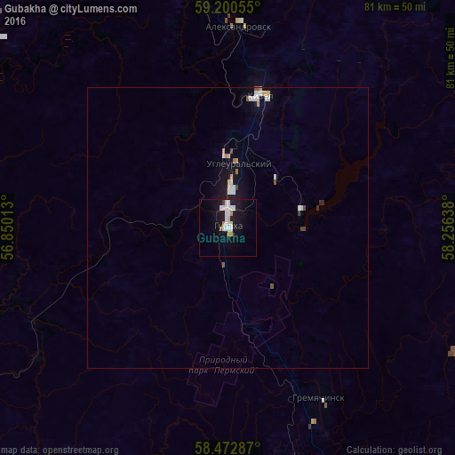
Analysis of Gubakha night lights 2016
Square area 10x10 km:
 3.97%
3.97%90-99
3.74%80-89
1.02%70-79
1.47%60-69
0.23%50-59
0.45%40-49
0%30-39
0.45%20-29
0%10-19
17.57%0-9
71.09%Square area 50x50 km:
0.36%90-99
0.3%80-89
0.1%70-79
0.19%60-69
0.05%50-59
0.11%40-49
0.07%30-39
0.08%20-29
0.03%10-19
1.24%0-9
97.47%Clear (daylight) street map image can be seen on geolist.org.
Map coordinates:
59° 12' 2" North, 56° 51' 0.5" East
58° 50' 19" North, 57° 33' 11.7" East
58° 28' 22.3" North, 58° 15' 23" East
Some cities around Gubakha sort by population:
• Berezniki
76 km =47.2 mi,  326°
326°
• Chusovoy
61.6 km =38.3 mi,  165°
165°
• Kizel
23.8 km =14.8 mi,  13°
13°
• Aleksandrovsk
35.5 km =22.1 mi,  1°
1°
• Gornozavodsk
68 km =42.3 mi,  139°
139°
• Gremyachinsk
35.4 km =22 mi,  150°
150°
• Yayva
57.7 km =35.9 mi,  343°
343°
• Ugleural’skiy
12 km =7.5 mi, 11°
558209 (p: 26,605)
Sources (retrieved 2019-11-25):
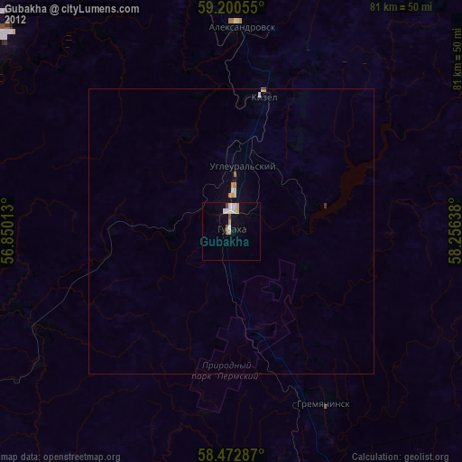
» Earth at Night: Flat Maps 2012, 2016