Uchaly night lights from space
Night Light of Uchaly (Bashkortostan Republic) from space (Russia) Src. Average luminocity for 10x10km area is 10.9875% and for 50x50km: 1.0747%.

Analysis of Uchaly night lights 2016
Square area 10x10 km:
 2.63%
2.63%90-99
2.51%80-89
1.38%70-79
0%60-69
0.75%50-59
1%40-49
1.13%30-39
1.13%20-29
0.5%10-19
10.9%0-9
78.07%Square area 50x50 km:
0.15%90-99
0.21%80-89
0.13%70-79
0.07%60-69
0.15%50-59
0.11%40-49
0.1%30-39
0.11%20-29
0.06%10-19
1.12%0-9
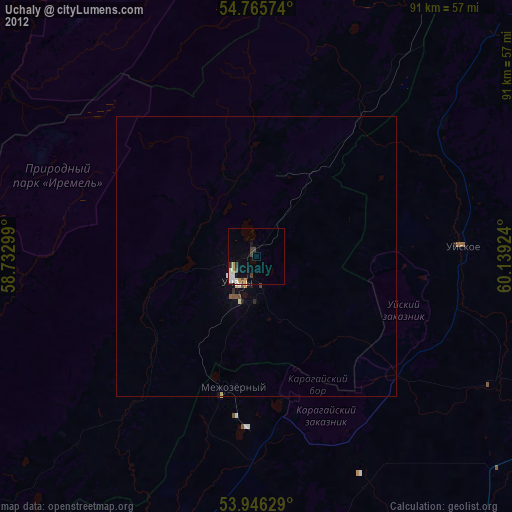
97.79%Clear (daylight) street map image can be seen on geolist.org.
Map coordinates:
54° 45' 56.7" North, 58° 43' 58.8" East
54° 21' 29" North, 59° 26' 10" East
53° 56' 46.6" North, 60° 8' 21.3" East
Some cities around Uchaly sort by population:
• Beloretsk
80.6 km =50.1 mi,  236°
236°
• Satka
80.2 km =49.8 mi,  341°
341°
• Trëkhgornyy
80.9 km =50.3 mi,  308°
308°
• Bakal
76.4 km =47.5 mi,  328°
328°
• Verkhneural’sk
55.5 km =34.5 mi,  195°
195°
• Uyskoye
36.9 km =22.9 mi,  86°
86°
• Mishkino
45.3 km =28.1 mi,  208°
208°
• Tirlyanskiy
57.9 km =36 mi,  253°
253°
479703 (p: 37,788)
Sources (retrieved 2019-11-25):
» Earth at Night: Flat Maps 2012, 2016