Beloretsk night lights from space
Night Light of Beloretsk (Bashkortostan Republic) from space (Russia) Src. Average luminocity for 10x10km area is 23.3717% and for 50x50km: 1.0526%.
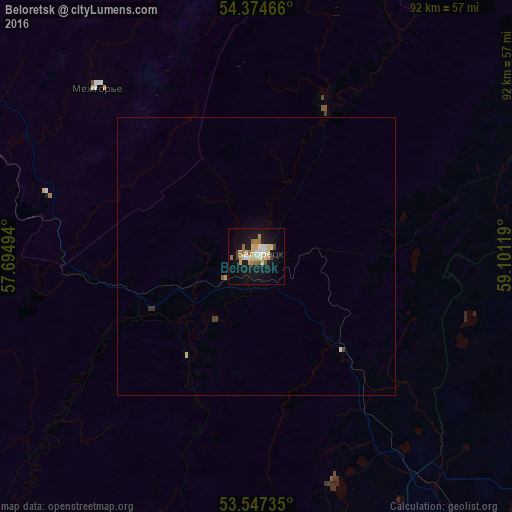
Analysis of Beloretsk night lights 2016
Square area 10x10 km:
 1.85%
1.85%90-99
4.23%80-89
4.63%70-79
3.7%60-69
3.31%50-59
3.44%40-49
0.66%30-39
1.46%20-29
0%10-19
27.65%0-9
49.07%Square area 50x50 km:
0.08%90-99
0.16%80-89
0.19%70-79
0.15%60-69
0.13%50-59
0.15%40-49
0.07%30-39
0.1%20-29
0.01%10-19
1.07%0-9
97.88%Clear (daylight) street map image can be seen on geolist.org.
Map coordinates:
54° 22' 28.8" North, 57° 41' 41.8" East
53° 57' 47" North, 58° 23' 53" East
53° 32' 50.5" North, 59° 6' 4.3" East
Some cities around Beloretsk sort by population:
• Magnitogorsk
74.1 km =46 mi,  144°
144°
• Uchaly
80.6 km =50.1 mi,  56°
56°
• Katav-Ivanovsk
88.8 km =55.2 mi,  351°
351°
• Mezgor'e
39.2 km =24.4 mi,  284°
284°
• Verkhneural’sk
54.1 km =33.6 mi,  100°
100°
• Agapovka
88.5 km =55 mi,  146°
146°
• Mishkino
46.5 km =28.9 mi,  84°
84°
• Tirlyanskiy
30 km =18.6 mi,  23°
23°
577881 (p: 70,468)
Sources (retrieved 2019-11-25):
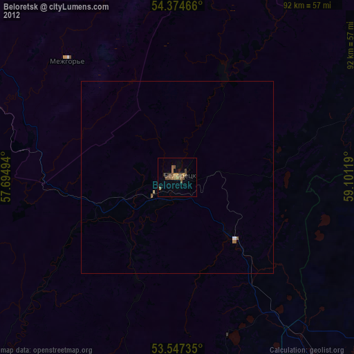
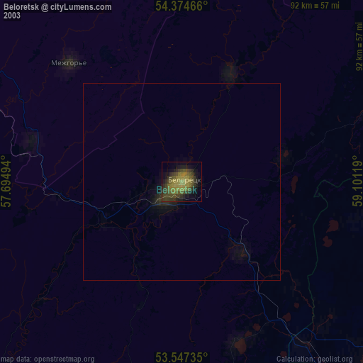
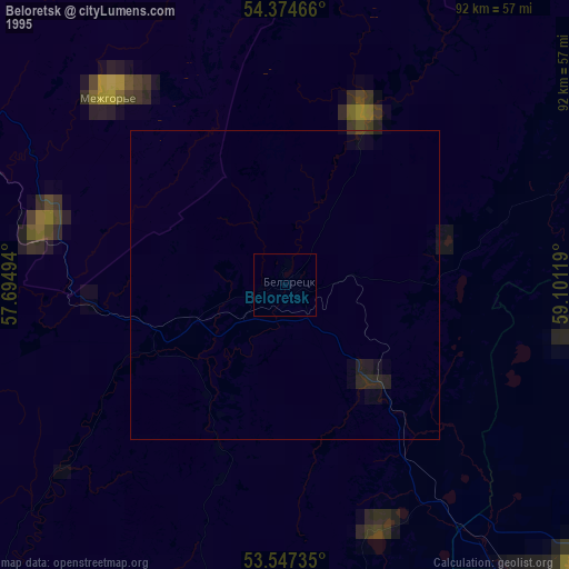
» NASA, Earths city lights 1995
» NASA city lights 2003
» Earth at Night: Flat Maps 2012, 2016