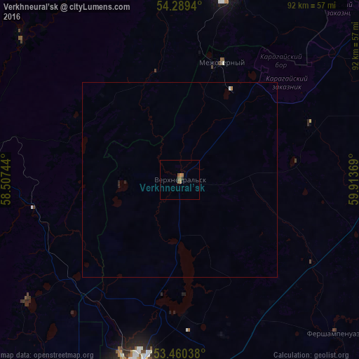
Verkhneural’sk night lights from space
Night Light of Verkhneural’sk (Chelyabinsk) from space (Russia) Src. Average luminocity for 10x10km area is 2.6799% and for 50x50km: 0.1525%.
Analysis of Verkhneural’sk night lights 2016
Square area 10x10 km:
 0%
0%90-99
0%80-89
0%70-79
0.53%60-69
1.59%50-59
1.19%40-49
0.4%30-39
0%20-29
0.53%10-19
0%0-9
95.77%Square area 50x50 km:
0.01%90-99
0.01%80-89
0%70-79
0.02%60-69
0.08%50-59
0.05%40-49
0.02%30-39
0%20-29
0.06%10-19
0.02%0-9
99.74%Clear (daylight) street map image can be seen on geolist.org.
Map coordinates:
54° 17' 21.8" North, 58° 30' 26.8" East
53° 52' 37" North, 59° 12' 38" East
53° 27' 37.4" North, 59° 54' 49.3" East
Some cities around Verkhneural’sk sort by population:
• Magnitogorsk
52.1 km =32.4 mi,  191°
191°
• Beloretsk
54.1 km =33.6 mi,  280°
280°
• Uchaly
55.5 km =34.5 mi,  15°
15°
• Mezgor'e
93.2 km =57.9 mi, 281°
• Uyskoye
76 km =47.2 mi,  42°
42°
• Agapovka
64.6 km =40.1 mi,  184°
184°
• Mishkino
15.3 km =9.5 mi,  333°
333°
• Tirlyanskiy
55.4 km =34.4 mi,  312°
312°
475463 (p: 10,267)
Sources (retrieved 2019-11-25):
» Earth at Night: Flat Maps 2012, 2016