Tyrnyauz night lights from space
Night Light of Tyrnyauz (Kabardino-Balkariya Republic) from space (Russia) Src. Average luminocity for 10x10km area is 1.0111% and for 50x50km: 0.0406%.
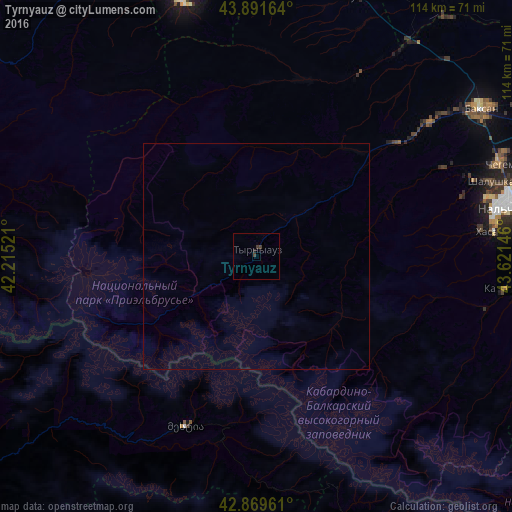
Analysis of Tyrnyauz night lights 2016
Square area 10x10 km:
 0%
0%90-99
0%80-89
0%70-79
0%60-69
0%50-59
0%40-49
1.27%30-39
0.63%20-29
0.48%10-19
0.16%0-9
97.46%Square area 50x50 km:
0%90-99
0%80-89
0%70-79
0%60-69
0%50-59
0%40-49
0.05%30-39
0.03%20-29
0.02%10-19
0.01%0-9
99.9%Clear (daylight) street map image can be seen on geolist.org.
Map coordinates:
43° 53' 29.9" North, 42° 12' 54.8" East
43° 22' 58" North, 42° 55' 6" East
42° 52' 10.6" North, 43° 37' 17.3" East
Some cities around Tyrnyauz sort by population:
• Shalushka
54.9 km =34.1 mi,  72°
72°
• Islamey
54.1 km =33.6 mi,  53°
53°
• Kenzhe
53.2 km =33.1 mi,  75°
75°
• Zayukovo
42.4 km =26.3 mi, 52°
• Sarmakovo
46.3 km =28.8 mi,  29°
29°
• Gundelen
31.4 km =19.5 mi,  40°
40°
• Kamennomostskoye
40.8 km =25.4 mi,  15°
15°
• Kyzburun Pervyy
48.7 km =30.3 mi, 52°
479933 (p: 20,104)
Sources (retrieved 2019-11-25):
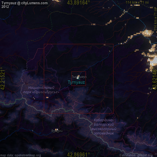
» Earth at Night: Flat Maps 2012, 2016