Turinsk night lights from space
Night Light of Turinsk (Sverdlovsk) from space (Russia) Src. Average luminocity for 10x10km area is 2.3548% and for 50x50km: 0.0899%.
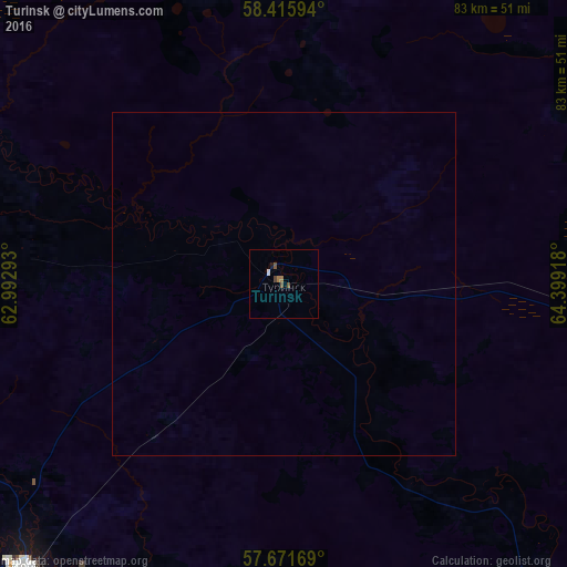
Analysis of Turinsk night lights 2016
Square area 10x10 km:
 0.24%
0.24%90-99
0.24%80-89
0%70-79
0%60-69
0.95%50-59
0.95%40-49
0.95%30-39
0%20-29
0%10-19
0.48%0-9
96.19%Square area 50x50 km:
0.01%90-99
0.01%80-89
0%70-79
0%60-69
0.04%50-59
0.04%40-49
0.04%30-39
0%20-29
0%10-19
0.02%0-9
99.86%Clear (daylight) street map image can be seen on geolist.org.
Map coordinates:
58° 24' 57.4" North, 62° 59' 34.5" East
58° 2' 44.7" North, 63° 41' 45.8" East
57° 40' 18.1" North, 64° 23' 57" East
Some cities around Turinsk sort by population:
• Lesnoy
59.8 km =37.2 mi,  217°
217°
• Alapayevsk
120 km =74.6 mi,  259°
259°
• Irbit
55.7 km =34.6 mi, 221°
• Tavda
92.8 km =57.7 mi,  90°
90°
• Talitsa
115.1 km =71.5 mi,  178°
178°
• Troitskiy
109.6 km =68.1 mi, 178°
• Verkhnyaya Sinyachikha
119.7 km =74.4 mi,  266°
266°
• Baykalovo
72.1 km =44.8 mi, 176°
1488933 (p: 18,555)
Sources (retrieved 2019-11-25):
» Earth at Night: Flat Maps 2012, 2016