Lesnoy night lights from space
Night Light of Lesnoy (Sverdlovsk) from space (Russia) Src. Average luminocity for 10x10km area is 7.8% and for 50x50km: 0.8679%.
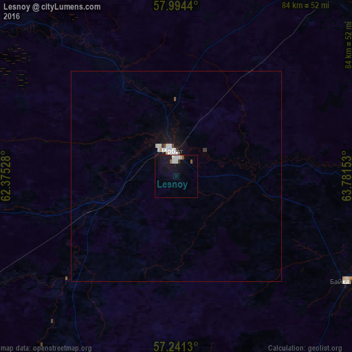
Analysis of Lesnoy night lights 2016
Square area 10x10 km:
 1.07%
1.07%90-99
2.26%80-89
0.48%70-79
0%60-69
0.24%50-59
0.71%40-49
0.48%30-39
0.48%20-29
0.24%10-19
11.43%0-9
82.62%Square area 50x50 km:
0.17%90-99
0.26%80-89
0.05%70-79
0.03%60-69
0.01%50-59
0.06%40-49
0.05%30-39
0.09%20-29
0.01%10-19
0.98%0-9
98.27%Clear (daylight) street map image can be seen on geolist.org.
Map coordinates:
57° 59' 39.8" North, 62° 22' 31" East
57° 37' 11.3" North, 63° 4' 42.2" East
57° 14' 28.7" North, 63° 46' 53.5" East
Some cities around Lesnoy sort by population:
• Irbit
5.7 km =3.5 mi,  355°
355°
• Artëmovskiy
78 km =48.5 mi,  247°
247°
• Turinsk
59.8 km =37.2 mi,  37°
37°
• Bulanash
75 km =46.6 mi,  239°
239°
• Troitskiy
74.1 km =46 mi,  147°
147°
• Pyshma
74.9 km =46.5 mi,  172°
172°
• Baykalovo
48 km =29.8 mi,  120°
120°
• Turinskaya Sloboda
77.8 km =48.3 mi,  89°
89°
6853140 (p: 55,100)
Sources (retrieved 2019-11-25):
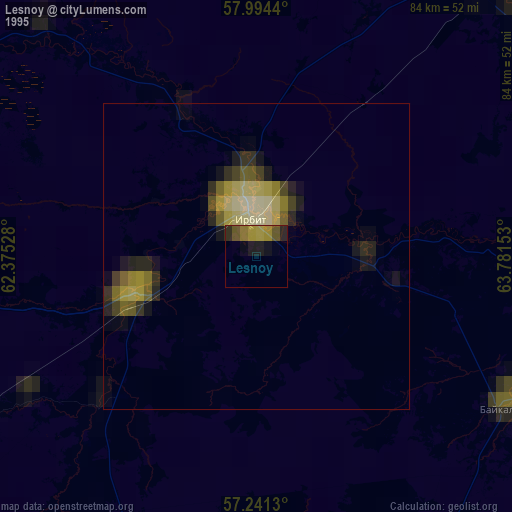
» NASA, Earths city lights 1995
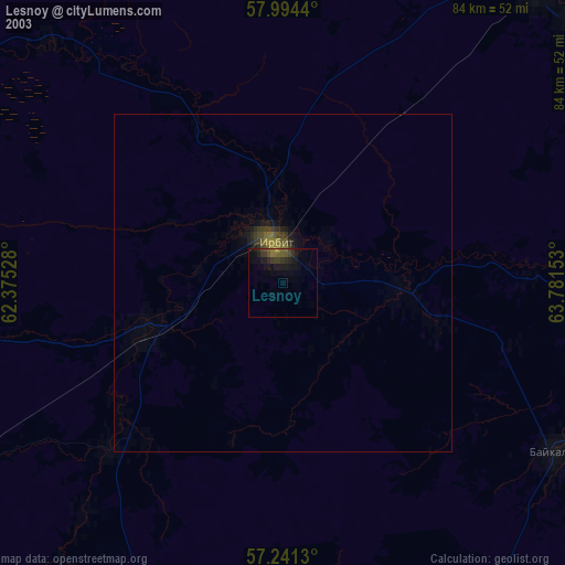
» NASA city lights 2003
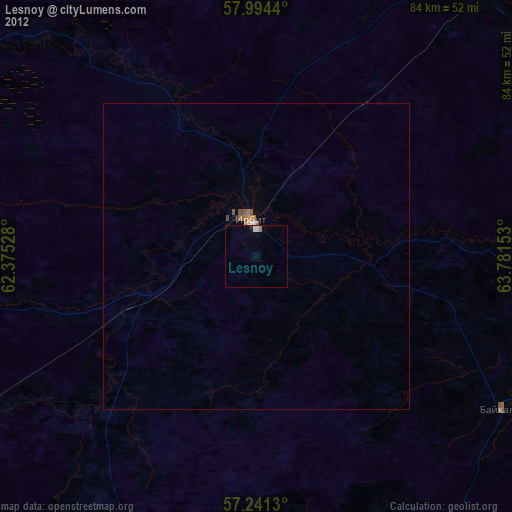
» Earth at Night: Flat Maps 2012, 2016