Baykalovo night lights from space
Night Light of Baykalovo (Sverdlovsk) from space (Russia) Src. Average luminocity for 10x10km area is 4.3409% and for 50x50km: 0.1785%.
Analysis of Baykalovo night lights 2016
Square area 10x10 km:
 0.45%
0.45%90-99
0.91%80-89
0.91%70-79
1.25%60-69
0.57%50-59
0%40-49
0%30-39
0%20-29
0.23%10-19
0.23%0-9
95.45%Square area 50x50 km:
0.02%90-99
0.04%80-89
0.04%70-79
0.05%60-69
0.02%50-59
0%40-49
0%30-39
0%20-29
0.01%10-19
0.01%0-9
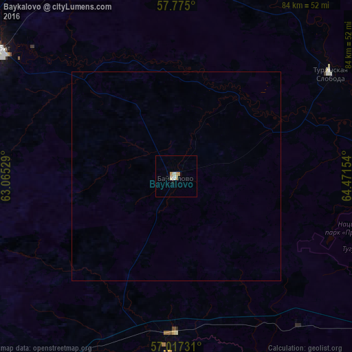
99.81%Clear (daylight) street map image can be seen on geolist.org.
Map coordinates:
57° 46' 30" North, 63° 3' 55" East
57° 23' 53.2" North, 63° 46' 6.3" East
57° 1' 2.3" North, 64° 28' 17.5" East
Some cities around Baykalovo sort by population:
• Lesnoy
48 km =29.8 mi,  300°
300°
• Irbit
51.5 km =32 mi,  306°
306°
• Talitsa
43.1 km =26.8 mi,  182°
182°
• Turinsk
72.1 km =44.8 mi,  356°
356°
• Troitskiy
37.6 km =23.4 mi, 181°
• Pyshma
58.6 km =36.4 mi,  212°
212°
• Tugulym
64.7 km =40.2 mi,  125°
125°
• Turinskaya Sloboda
44.6 km =27.7 mi,  55°
55°
1510697 (p: 6,043)
Sources (retrieved 2019-11-25):
» Earth at Night: Flat Maps 2012, 2016