Alapayevsk night lights from space
Night Light of Alapayevsk (Sverdlovsk) from space (Russia) Src. Average luminocity for 10x10km area is 20.3318% and for 50x50km: 0.9485%.
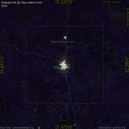
Analysis of Alapayevsk night lights 2016
Square area 10x10 km:
 3.64%
3.64%90-99
5.34%80-89
1.59%70-79
1.82%60-69
2.61%50-59
2.27%40-49
0.45%30-39
0.91%20-29
0.8%10-19
24.43%0-9
56.14%Square area 50x50 km:
0.18%90-99
0.24%80-89
0.06%70-79
0.08%60-69
0.12%50-59
0.09%40-49
0.02%30-39
0.04%20-29
0.05%10-19
1.01%0-9
98.13%Clear (daylight) street map image can be seen on geolist.org.
Map coordinates:
58° 13' 25.6" North, 60° 59' 35.3" East
57° 51' 5.7" North, 61° 41' 46.6" East
57° 28' 31.8" North, 62° 23' 57.8" East
Some cities around Alapayevsk sort by population:
• Verkhnyaya Salda
70.6 km =43.9 mi,  288°
288°
• Rezh
56.3 km =35 mi,  197°
197°
• Artëmovskiy
56.1 km =34.9 mi,  169°
169°
• Nizhnyaya Salda
62.8 km =39 mi, 293°
• Bulanash
66.2 km =41.1 mi,  164°
164°
• Verkhnyaya Sinyachikha
13.9 km =8.6 mi,  352°
352°
• Malysheva
83.4 km =51.8 mi,  192°
192°
• Svobodnyy
79.5 km =49.4 mi, 285°
1511954 (p: 44,000)
Sources (retrieved 2019-11-25):
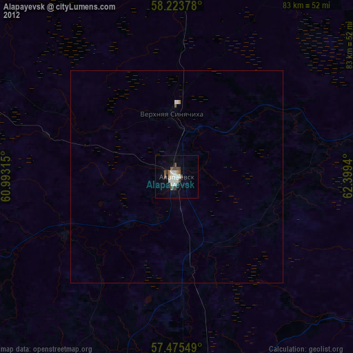
» Earth at Night: Flat Maps 2012, 2016