Irbit night lights from space
Night Light of Irbit (Sverdlovsk) from space (Russia) Src. Average luminocity for 10x10km area is 19.9261% and for 50x50km: 0.8758%.
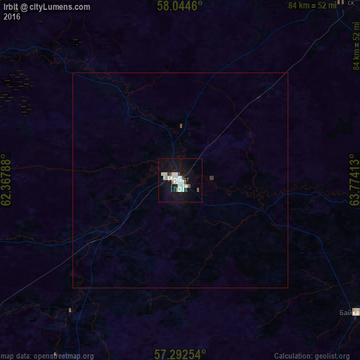
Analysis of Irbit night lights 2016
Square area 10x10 km:
 4.32%
4.32%90-99
6.59%80-89
1.36%70-79
0.8%60-69
0.34%50-59
1.14%40-49
1.36%30-39
1.25%20-29
0.34%10-19
24.55%0-9
57.95%Square area 50x50 km:
0.17%90-99
0.27%80-89
0.06%70-79
0.03%60-69
0.01%50-59
0.06%40-49
0.06%30-39
0.09%20-29
0.01%10-19
0.99%0-9
98.25%Clear (daylight) street map image can be seen on geolist.org.
Map coordinates:
58° 2' 40.6" North, 62° 22' 4.4" East
57° 40' 13.9" North, 63° 4' 15.6" East
57° 17' 33.1" North, 63° 46' 26.9" East
Some cities around Irbit sort by population:
• Lesnoy
5.7 km =3.5 mi,  175°
175°
• Artëmovskiy
79.9 km =49.6 mi,  243°
243°
• Turinsk
55.7 km =34.6 mi,  41°
41°
• Bulanash
77.6 km =48.2 mi, 235°
• Troitskiy
79.1 km =49.2 mi,  149°
149°
• Pyshma
80.6 km =50.1 mi,  172°
172°
• Baykalovo
51.5 km =32 mi,  126°
126°
• Turinskaya Sloboda
78.4 km =48.7 mi,  93°
93°
1505526 (p: 41,647)
Sources (retrieved 2019-11-25):
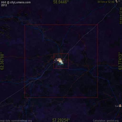
» Earth at Night: Flat Maps 2012, 2016