Topki night lights from space
Night Light of Topki (Kemerovo Oblast) from space (Russia) Src. Average luminocity for 10x10km area is 14.6579% and for 50x50km: 4.8911%.
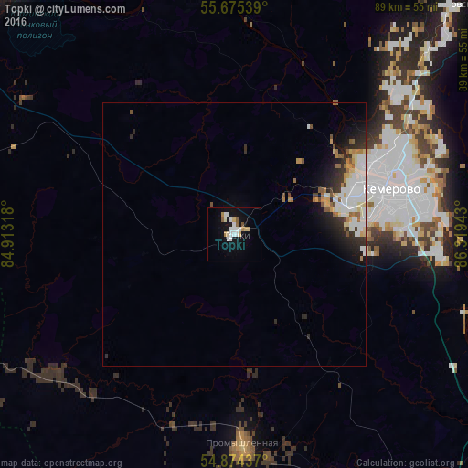
Analysis of Topki night lights 2016
Square area 10x10 km:
 3.35%
3.35%90-99
3.35%80-89
1.91%70-79
1.08%60-69
0.84%50-59
1.79%40-49
0.12%30-39
0%20-29
0%10-19
12.44%0-9
75.12%Square area 50x50 km:
1.31%90-99
1.07%80-89
0.54%70-79
0.38%60-69
0.45%50-59
0.54%40-49
0.28%30-39
0.44%20-29
1.22%10-19
2.28%0-9
91.5%Clear (daylight) street map image can be seen on geolist.org.
Map coordinates:
55° 40' 31.4" North, 84° 54' 47.4" East
55° 16' 36.8" North, 85° 36' 58.7" East
54° 52' 27.7" North, 86° 19' 9.9" East
Some cities around Topki sort by population:
• Kemerovo
30.2 km =18.8 mi,  78°
78°
• Berëzovskiy
51.4 km =31.9 mi,  45°
45°
• Kedrovka
40.7 km =25.3 mi, 48°
• Promyshlennaya
40.2 km =25 mi,  177°
177°
• Yagunovskiy
22.9 km =14.2 mi,  88°
88°
• Promyshlennovskiy
43.4 km =27 mi,  58°
58°
• Pioner
21.6 km =13.4 mi, 78°
• Borovoy
34.3 km =21.3 mi, 59°
1489394 (p: 30,572)
Sources (retrieved 2019-11-25):
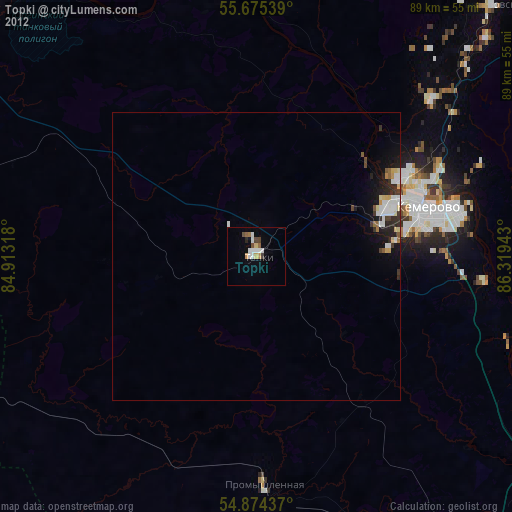
» Earth at Night: Flat Maps 2012, 2016