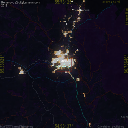
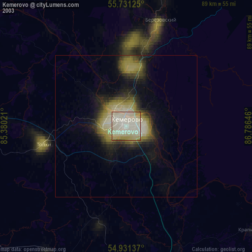
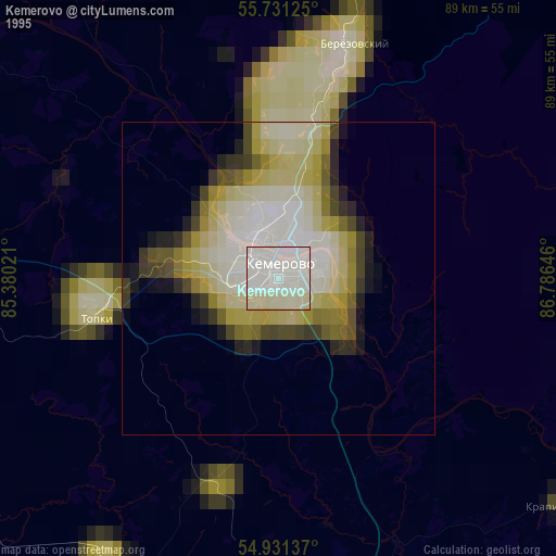
Kemerovo night lights from space
Night Light of Kemerovo (Kemerovo Oblast) from space (Russia) Src. Average luminocity for 10x10km area is 97.5897% and for 50x50km: 20.2127%.
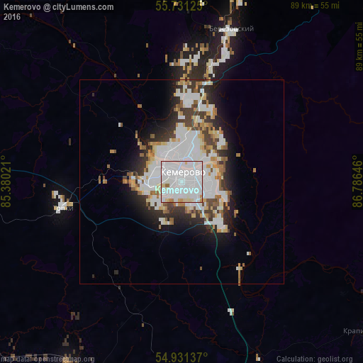
Analysis of Kemerovo night lights 2016
Square area 10x10 km:
 66.63%
90-99
25%80-89
4.78%70-79
1.67%60-69
1.44%50-59
0.48%40-49
0%30-39
0%20-29
0%10-19
0%0-9
0%Square area 50x50 km:
7.21%90-99
4.93%80-89
1.76%70-79
1.54%60-69
1.54%50-59
1.55%40-49
1.54%30-39
2.46%20-29
3.66%10-19
5.73%0-9
68.09%Clear (daylight) street map image can be seen on geolist.org.
Map coordinates:
55° 43' 52.5" North, 85° 22' 48.8" East
55° 19' 60" North, 86° 4' 60" East
54° 55' 52.9" North, 86° 47' 11.3" East
Some cities around Kemerovo sort by population:
• Berëzovskiy
30.5 km =19 mi,  13°
13°
• Topki
30.2 km =18.8 mi,  258°
258°
• Kedrovka
20.9 km =13 mi,  2°
2°
• Promyshlennaya
54.4 km =33.8 mi,  211°
211°
• Yagunovskiy
8.7 km =5.4 mi,  229°
229°
• Promyshlennovskiy
18.2 km =11.3 mi,  23°
23°
• Pioner
8.6 km =5.3 mi, 257°
• Borovoy
11.1 km =6.9 mi, 0°
1503901 (p: 477,090)
Sources (retrieved 2019-11-25):
» NASA, Earths city lights 1995
» NASA city lights 2003
» Earth at Night: Flat Maps 2012, 2016