Tol’yatti night lights from space
Night Light of Tol’yatti (Samara Oblast) from space (Russia) Src. Average luminocity for 10x10km area is 75.0767% and for 50x50km: 12.0012%.
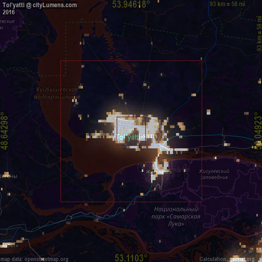
Analysis of Tol’yatti night lights 2016
Square area 10x10 km:
 36.11%
90-99
19.31%80-89
2.38%70-79
3.57%60-69
5.56%50-59
3.57%40-49
4.76%30-39
16.4%20-29
8.33%10-19
0%0-9
0%Square area 50x50 km:
3.32%90-99
2.58%80-89
0.86%70-79
0.92%60-69
0.95%50-59
0.79%40-49
1.07%30-39
2.39%20-29
3.72%10-19
6.71%0-9
76.69%Clear (daylight) street map image can be seen on geolist.org.
Map coordinates:
53° 56' 46.2" North, 48° 38' 34.7" East
53° 31' 49.1" North, 49° 20' 46" East
53° 6' 37.1" North, 50° 2' 57.2" East
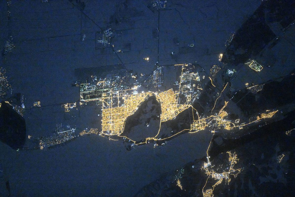
Fantastic image of Tol’yatti from space taken by astronauts [src2], but I don't have information about it's orientation, scale or angle. If necessary, it was rotated manually, so North points approximately to upper direction. Click to zoom in:
Some cities around Tol’yatti sort by population:
• Zhigulevsk
17.6 km =10.9 mi,  145°
145°
• Pribrezhnyy
34.2 km =21.3 mi,  98°
98°
• Povolzhskiy
28.2 km =17.5 mi,  77°
77°
• Volzhskiy
52.3 km =32.5 mi, 102°
• Kurumoch
45.9 km =28.5 mi, 95°
• Ber√´za
52.5 km =32.6 mi,  91°
91°
• Obsharovka
55.7 km =34.6 mi,  215°
215°
• Shigony
47 km =29.2 mi,  250°
250°
482283 (p: 702,879)
Sources (retrieved 2019-11-25):
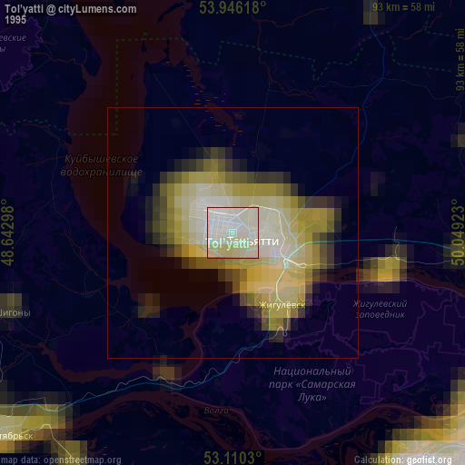
» NASA, Earths city lights 1995
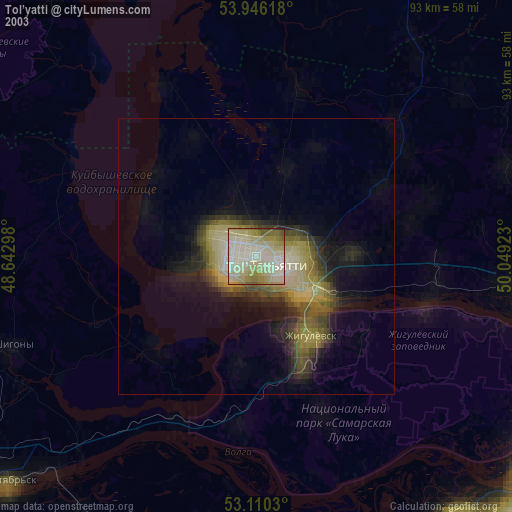
» NASA city lights 2003
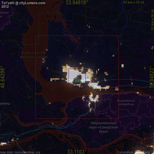
» Earth at Night: Flat Maps 2012, 2016
Src.2: picture by Oleg Kononenko,ÝRoscosmos, retrieved 2019-11-29