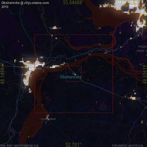
Obsharovka night lights from space
Night Light of Obsharovka (Samara Oblast) from space (Russia) Src. Average luminocity for 10x10km area is 0.4868% and for 50x50km: 1.6803%.
Analysis of Obsharovka night lights 2016
Square area 10x10 km:
 0%
0%90-99
0%80-89
0%70-79
0%60-69
0%50-59
0%40-49
1.06%30-39
0%20-29
0%10-19
0%0-9
98.94%Square area 50x50 km:
0.3%90-99
0.34%80-89
0.05%70-79
0.22%60-69
0.14%50-59
0.1%40-49
0.21%30-39
0.08%20-29
0.67%10-19
1.36%0-9
96.54%Clear (daylight) street map image can be seen on geolist.org.
Map coordinates:
53° 32' 41.5" North, 48° 8' 59.8" East
53° 7' 30" North, 48° 51' 11" East
52° 42' 3.6" North, 49° 33' 22.3" East
Some cities around Obsharovka sort by population:
• Tol’yatti
55.7 km =34.6 mi,  35°
35°
• Syzran’
25.9 km =16.1 mi,  278°
278°
• Novokuybyshevsk
73 km =45.4 mi,  92°
92°
• Chapayevsk
59.5 km =37 mi,  106°
106°
• Zhigulevsk
52.5 km =32.6 mi,  54°
54°
• Oktyabr’sk
11.2 km =7 mi,  294°
294°
• Bezenchuk
41.9 km =26 mi, 112°
• Shigony
31.4 km =19.5 mi,  338°
338°
516342 (p: 5,668)
Sources (retrieved 2019-11-25):
» Earth at Night: Flat Maps 2012, 2016