Terekli-Mekteb night lights from space
Night Light of Terekli-Mekteb (Dagestan) from space (Russia) Src. Average luminocity for 10x10km area is 3.8152% and for 50x50km: 0.1627%.
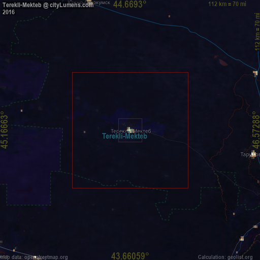
Analysis of Terekli-Mekteb night lights 2016
Square area 10x10 km:
 0%
0%90-99
0.45%80-89
0.15%70-79
0%60-69
1.82%50-59
0.76%40-49
0.45%30-39
1.82%20-29
1.21%10-19
0%0-9
93.33%Square area 50x50 km:
0%90-99
0.02%80-89
0.01%70-79
0%60-69
0.07%50-59
0.03%40-49
0.02%30-39
0.07%20-29
0.07%10-19
0%0-9
99.7%Clear (daylight) street map image can be seen on geolist.org.
Map coordinates:
44° 40' 9.5" North, 45° 9' 59.9" East
44° 10' 1.6" North, 45° 52' 11.1" East
43° 39' 38.1" North, 46° 34' 22.4" East
Some cities around Terekli-Mekteb sort by population:
• Yuzhno-Sukhokumsk
57.5 km =35.7 mi,  341°
341°
• Pervomayskoye
72.6 km =45.1 mi,  112°
112°
• Naurskaya
72.8 km =45.2 mi,  217°
217°
• Kalinovskaya
71.6 km =44.5 mi,  202°
202°
• Kochubey
61.7 km =38.3 mi,  66°
66°
• Kargalinskaya
67.7 km =42.1 mi,  134°
134°
• Tarumovka
54.1 km =33.6 mi,  100°
100°
• Alpatovo
72.1 km =44.8 mi, 224°
483439 (p: 7,799)
Sources (retrieved 2019-11-25):
» Earth at Night: Flat Maps 2012, 2016