Svobody night lights from space
Night Light of Svobody (Stavropol’ Kray) from space (Russia) Src. Average luminocity for 10x10km area is 41.7063% and for 50x50km: 7.0826%.
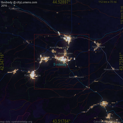
Analysis of Svobody night lights 2016
Square area 10x10 km:
 8.41%
8.41%90-99
12.06%80-89
3.33%70-79
4.6%60-69
2.86%50-59
3.97%40-49
5.4%30-39
6.19%20-29
9.52%10-19
27.14%0-9
16.51%Square area 50x50 km:
0.79%90-99
1.18%80-89
0.54%70-79
0.79%60-69
0.82%50-59
0.97%40-49
1.03%30-39
0.95%20-29
1.62%10-19
7.57%0-9
83.74%Clear (daylight) street map image can be seen on geolist.org.
Map coordinates:
44° 31' 44.3" North, 42° 20' 49.8" East
44° 1' 32" North, 43° 3' 1" East
43° 31' 4.2" North, 43° 45' 12.3" East
Some cities around Svobody sort by population:
• Pyatigorsk
2.7 km =1.7 mi,  15°
15°
• Goryachevodskiy
3.4 km =2.1 mi,  93°
93°
• Inozemtsevo
8.1 km =5 mi, 23°
• Zheleznovodsk
12.9 km =8 mi,  349°
349°
• Lermontov
10.9 km =6.8 mi,  325°
325°
• Vinsady
9.2 km =5.7 mi,  312°
312°
• Yutsa
8.3 km =5.2 mi,  201°
201°
• Konstantinovskaya
8.9 km =5.5 mi,  75°
75°
485432 (p: 17,661)
Sources (retrieved 2019-11-25):
» Earth at Night: Flat Maps 2012, 2016