Goryachevodskiy night lights from space
Night Light of Goryachevodskiy (Stavropol’ Kray) from space (Russia) Src. Average luminocity for 10x10km area is 38.8794% and for 50x50km: 6.6023%.
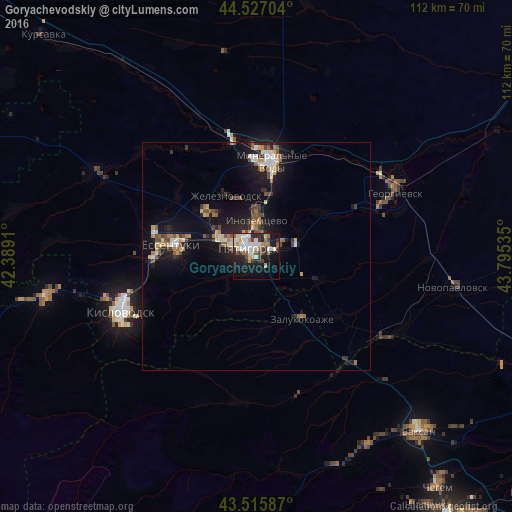
Analysis of Goryachevodskiy night lights 2016
Square area 10x10 km:
 8.57%
8.57%90-99
10.63%80-89
1.75%70-79
4.44%60-69
4.13%50-59
1.75%40-49
4.6%30-39
7.78%20-29
7.94%10-19
26.67%0-9
21.75%Square area 50x50 km:
0.75%90-99
1.07%80-89
0.54%70-79
0.71%60-69
0.81%50-59
0.96%40-49
0.96%30-39
0.92%20-29
1.53%10-19
6.73%0-9
85.03%Clear (daylight) street map image can be seen on geolist.org.
Map coordinates:
44° 31' 37.3" North, 42° 23' 20.8" East
44° 1' 25" North, 43° 5' 32" East
43° 30' 57.1" North, 43° 47' 43.3" East
Some cities around Goryachevodskiy sort by population:
• Pyatigorsk
3.8 km =2.4 mi,  316°
316°
• Inozemtsevo
7.7 km =4.8 mi,  359°
359°
• Zheleznovodsk
14.1 km =8.8 mi,  335°
335°
• Lermontov
13.2 km =8.2 mi,  314°
314°
• Svobody
3.4 km =2.1 mi,  273°
273°
• Vinsady
12 km =7.5 mi,  302°
302°
• Yutsa
9.8 km =6.1 mi,  220°
220°
• Konstantinovskaya
5.8 km =3.6 mi,  65°
65°
559320 (p: 35,075)
Sources (retrieved 2019-11-25):
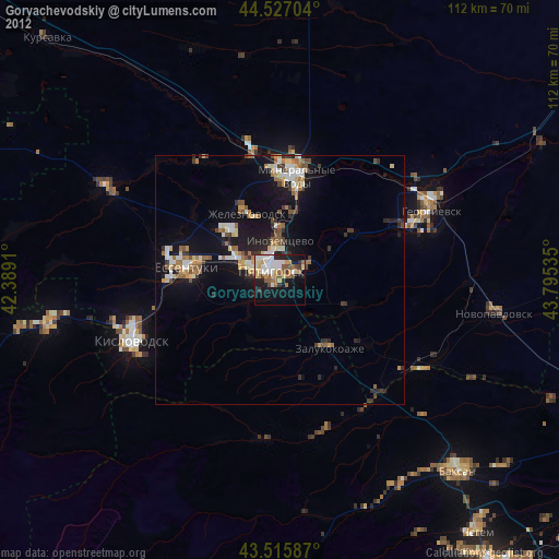
» Earth at Night: Flat Maps 2012, 2016