Suvorov night lights from space
Night Light of Suvorov (Tula) from space (Russia) Src. Average luminocity for 10x10km area is 5.9369% and for 50x50km: 0.258%.
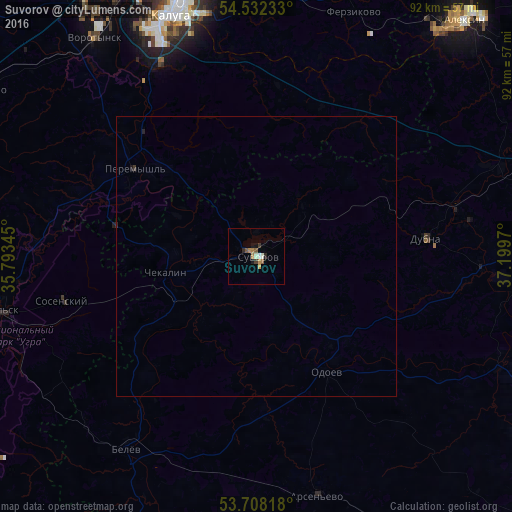
Analysis of Suvorov night lights 2016
Square area 10x10 km:
 0.13%
0.13%90-99
1.39%80-89
0%70-79
1.26%60-69
1.26%50-59
1.52%40-49
0%30-39
1.01%20-29
1.01%10-19
1.52%0-9
90.91%Square area 50x50 km:
0.01%90-99
0.06%80-89
0%70-79
0.05%60-69
0.05%50-59
0.06%40-49
0%30-39
0.06%20-29
0.07%10-19
0.08%0-9
99.57%Clear (daylight) street map image can be seen on geolist.org.
Map coordinates:
54° 31' 56.4" North, 35° 47' 36.4" East
54° 7' 20.3" North, 36° 29' 47.7" East
53° 42' 29.4" North, 37° 11' 58.9" East
Some cities around Suvorov sort by population:
• Kaluga
47.5 km =29.5 mi,  342°
342°
• Kozel’sk
48.2 km =30 mi,  258°
258°
• Belëv
41.9 km =26 mi,  214°
214°
• Sosenskiy
35.5 km =22.1 mi, 258°
• Vorotynsk
44.8 km =27.8 mi,  319°
319°
• Odoyev
23.8 km =14.8 mi,  148°
148°
• Dubna
30.5 km =19 mi,  83°
83°
• Ageyevo
4.4 km =2.7 mi, 336°
485888 (p: 21,059)
Sources (retrieved 2019-11-25):
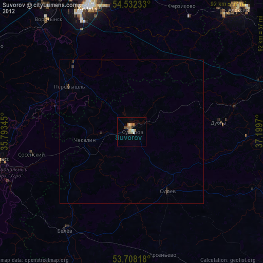
» Earth at Night: Flat Maps 2012, 2016