Kaluga night lights from space
Night Light of Kaluga from space (Russia) Src. Average luminocity for 10x10km area is 68.7297% and for 50x50km: 6.1421%.
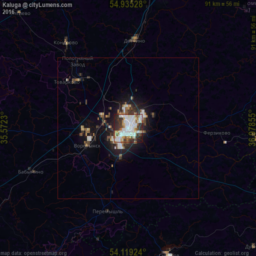
Analysis of Kaluga night lights 2016
Square area 10x10 km:
 21.53%
90-99
23.09%80-89
5.5%70-79
5.74%60-69
5.02%50-59
4.31%40-49
4.67%30-39
13.52%20-29
11.12%10-19
5.5%0-9
0%Square area 50x50 km:
1.15%90-99
1.38%80-89
0.42%70-79
0.55%60-69
0.51%50-59
0.68%40-49
0.83%30-39
1.13%20-29
1.71%10-19
3.93%0-9
87.7%Clear (daylight) street map image can be seen on geolist.org.
Map coordinates:
54° 56' 7" North, 35° 34' 20.3" East
54° 31' 45.5" North, 36° 16' 31.5" East
54° 7' 9.3" North, 36° 58' 42.8" East
Some cities around Kaluga sort by population:
• Aleksin
51.2 km =31.8 mi,  93°
93°
• Maloyaroslavets
55.4 km =34.4 mi,  13°
13°
• Suvorov
47.5 km =29.5 mi,  162°
162°
• Kondrovo
38.1 km =23.7 mi,  324°
324°
• Tovarkovo
27.2 km =16.9 mi,  306°
306°
• Vorotynsk
18.6 km =11.6 mi,  232°
232°
• Ageyevo
43.1 km =26.8 mi, 163°
• Polotnyanyy Zavod
29.2 km =18.1 mi, 317°
553915 (p: 338,978)
Sources (retrieved 2019-11-25):
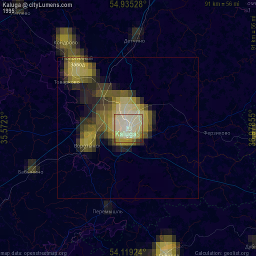
» NASA, Earths city lights 1995
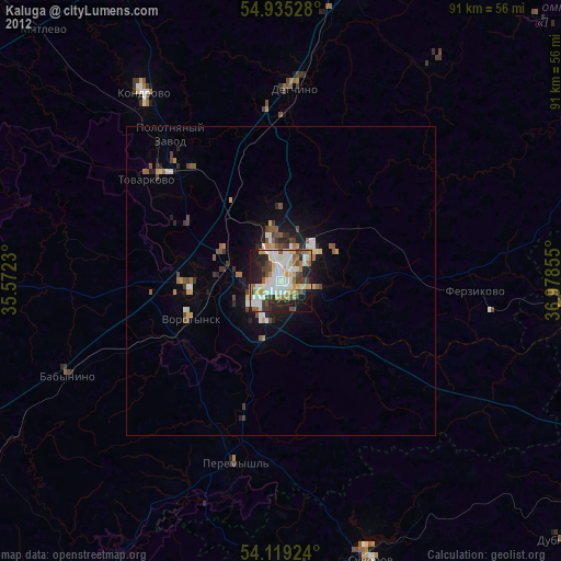
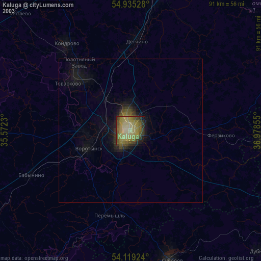
» NASA city lights 2003
» Earth at Night: Flat Maps 2012, 2016