Dubna night lights from space
Night Light of Dubna (Tula) from space (Russia) Src. Average luminocity for 10x10km area is 1.2273% and for 50x50km: 0.1003%.
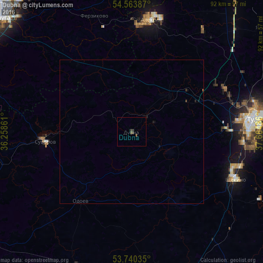
Analysis of Dubna night lights 2016
Square area 10x10 km:
 0%
0%90-99
0%80-89
0%70-79
0%60-69
0.51%50-59
0.51%40-49
0.13%30-39
0.88%20-29
0.51%10-19
0.13%0-9
97.35%Square area 50x50 km:
0%90-99
0%80-89
0%70-79
0%60-69
0.03%50-59
0.02%40-49
0.03%30-39
0.06%20-29
0.08%10-19
0.08%0-9
99.72%Clear (daylight) street map image can be seen on geolist.org.
Map coordinates:
54° 33' 49.9" North, 36° 15' 31" East
54° 9' 15" North, 36° 57' 42.2" East
53° 44' 25.3" North, 37° 39' 53.5" East
Some cities around Dubna sort by population:
• Aleksin
39.6 km =24.6 mi,  9°
9°
• Shchëkino
40.1 km =24.9 mi,  114°
114°
• Suvorov
30.5 km =19 mi,  263°
263°
• Kosaya Gora
38.2 km =23.7 mi,  95°
95°
• Pervomayskiy
37.7 km =23.4 mi, 108°
• Leninskiy
35.6 km =22.1 mi,  65°
65°
• Odoyev
29.9 km =18.6 mi,  216°
216°
• Ageyevo
32.1 km =19.9 mi,  270°
270°
564723 (p: 6,019)
Sources (retrieved 2019-11-25):
» Earth at Night: Flat Maps 2012, 2016