Kozel’sk night lights from space
Night Light of Kozel’sk (Kaluga) from space (Russia) Src. Average luminocity for 10x10km area is 2.5922% and for 50x50km: 0.1435%.
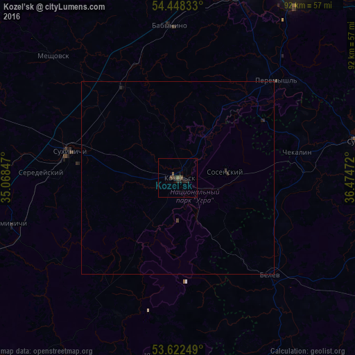
Analysis of Kozel’sk night lights 2016
Square area 10x10 km:
 0%
0%90-99
0%80-89
0%70-79
0%60-69
0%50-59
1.39%40-49
1.64%30-39
0.13%20-29
2.53%10-19
1.77%0-9
92.55%Square area 50x50 km:
0%90-99
0%80-89
0%70-79
0%60-69
0%50-59
0.06%40-49
0.08%30-39
0.05%20-29
0.15%10-19
0.09%0-9
99.58%Clear (daylight) street map image can be seen on geolist.org.
Map coordinates:
54° 26' 54" North, 35° 4' 6.5" East
54° 2' 14.9" North, 35° 46' 17.7" East
53° 37' 21" North, 36° 28' 29" East
Some cities around Kozel’sk sort by population:
• Suvorov
48.2 km =30 mi,  78°
78°
• Sukhinichi
28.8 km =17.9 mi,  283°
283°
• Belëv
34.4 km =21.4 mi,  136°
136°
• Sosenskiy
12.7 km =7.9 mi, 79°
• Vorotynsk
47 km =29.2 mi,  22°
22°
• Duminichi
44.7 km =27.8 mi,  255°
255°
• Odoyev
60.8 km =37.8 mi,  100°
100°
• Ageyevo
47.4 km =29.5 mi,  73°
73°
543348 (p: 19,500)
Sources (retrieved 2019-11-25):
» Earth at Night: Flat Maps 2012, 2016