Staraya Russa night lights from space
Night Light of Staraya Russa (Novgorod Oblast) from space (Russia) Src. Average luminocity for 10x10km area is 11.4905% and for 50x50km: 0.4813%.
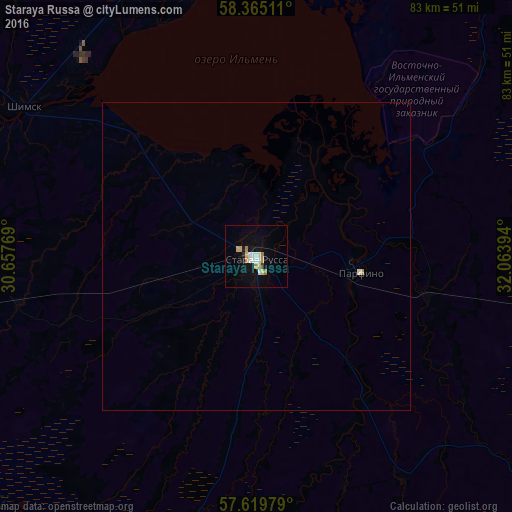
Analysis of Staraya Russa night lights 2016
Square area 10x10 km:
 1.43%
1.43%90-99
2.74%80-89
1.9%70-79
2.02%60-69
1.43%50-59
0%40-49
0%30-39
0.48%20-29
0.48%10-19
3.69%0-9
85.83%Square area 50x50 km:
0.05%90-99
0.12%80-89
0.07%70-79
0.09%60-69
0.06%50-59
0%40-49
0%30-39
0.02%20-29
0.02%10-19
0.14%0-9
99.43%Clear (daylight) street map image can be seen on geolist.org.
Map coordinates:
58° 21' 54.4" North, 30° 39' 27.7" East
57° 59' 39.8" North, 31° 21' 38.9" East
57° 37' 11.2" North, 32° 3' 50.2" East
Some cities around Staraya Russa sort by population:
• Velikiy Novgorod
58.8 km =36.5 mi,  354°
354°
• Sol’tsy
62.7 km =39 mi,  283°
283°
• Pankovka
57 km =35.4 mi, 350°
• Kresttsy
73.4 km =45.6 mi,  67°
67°
• Dno
84.6 km =52.6 mi,  257°
257°
• Parfino
17.1 km =10.6 mi,  97°
97°
• Demyansk
76.2 km =47.3 mi,  120°
120°
• Proletariy
52.9 km =32.9 mi,  22°
22°
489088 (p: 34,303)
Sources (retrieved 2019-11-25):
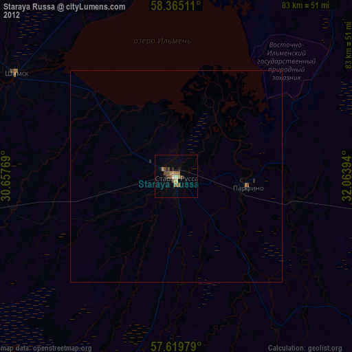
» Earth at Night: Flat Maps 2012, 2016