Kresttsy night lights from space
Night Light of Kresttsy (Novgorod Oblast) from space (Russia) Src. Average luminocity for 10x10km area is 7.9481% and for 50x50km: 0.3915%.
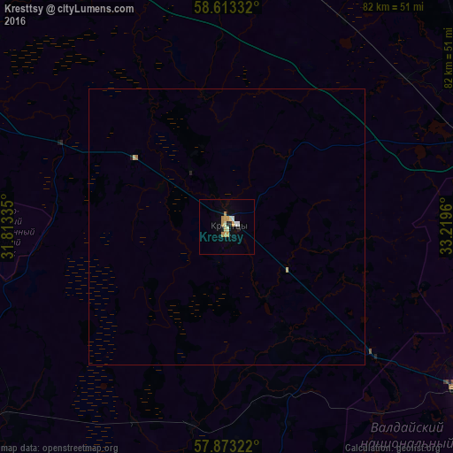
Analysis of Kresttsy night lights 2016
Square area 10x10 km:
 0.32%
0.32%90-99
1.95%80-89
0.87%70-79
3.46%60-69
0.32%50-59
0%40-49
0%30-39
0%20-29
0.97%10-19
0.76%0-9
91.34%Square area 50x50 km:
0.01%90-99
0.08%80-89
0.07%70-79
0.14%60-69
0.03%50-59
0%40-49
0%30-39
0%20-29
0.07%10-19
0.04%0-9
99.55%Clear (daylight) street map image can be seen on geolist.org.
Map coordinates:
58° 36' 48" North, 31° 48' 48.1" East
58° 14' 42.7" North, 32° 30' 59.3" East
57° 52' 23.6" North, 33° 13' 10.6" East
Some cities around Kresttsy sort by population:
• Staraya Russa
73.4 km =45.6 mi,  247°
247°
• Valday
52.2 km =32.4 mi,  124°
124°
• Okulovka
48.4 km =30.1 mi,  69°
69°
• Malaya Vishera
68.9 km =42.8 mi,  345°
345°
• Bologoye-4
76.9 km =47.8 mi, 119°
• Parfino
59.3 km =36.8 mi,  239°
239°
• Demyansk
67 km =41.6 mi,  182°
182°
• Proletariy
51.8 km =32.2 mi,  293°
293°
541116 (p: 9,737)
Sources (retrieved 2019-11-25):
» Earth at Night: Flat Maps 2012, 2016