Proletariy night lights from space
Night Light of Proletariy (Novgorod Oblast) from space (Russia) Src. Average luminocity for 10x10km area is 0.8889% and for 50x50km: 1.5562%.
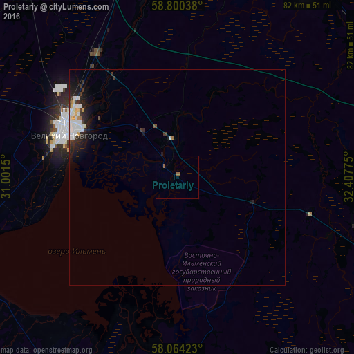
Analysis of Proletariy night lights 2016
Square area 10x10 km:
 0%
0%90-99
0%80-89
0%70-79
0%60-69
0.79%50-59
0.57%40-49
0%30-39
0%20-29
0%10-19
0%0-9
98.64%Square area 50x50 km:
0.46%90-99
0.34%80-89
0.1%70-79
0.06%60-69
0.1%50-59
0.05%40-49
0.11%30-39
0.28%20-29
0.51%10-19
1.21%0-9
96.78%Clear (daylight) street map image can be seen on geolist.org.
Map coordinates:
58° 48' 1.4" North, 31° 0' 5.4" East
58° 26' 3.2" North, 31° 42' 16.6" East
58° 3' 51.2" North, 32° 24' 27.9" East
Some cities around Proletariy sort by population:
• Velikiy Novgorod
27 km =16.8 mi,  291°
291°
• Staraya Russa
52.9 km =32.9 mi,  202°
202°
• Chudovo
75.9 km =47.2 mi,  359°
359°
• Malaya Vishera
54.7 km =34 mi,  33°
33°
• Sol’tsy
87.8 km =54.6 mi,  246°
246°
• Pankovka
30.2 km =18.8 mi,  283°
283°
• Kresttsy
51.8 km =32.2 mi,  113°
113°
• Parfino
51.4 km =31.9 mi,  183°
183°
504840 (p: 5,240)
Sources (retrieved 2019-11-25):
» Earth at Night: Flat Maps 2012, 2016