Konstantinovka night lights from space
Night Light of Konstantinovka (Amur Oblast) from space (Russia) Src. Average luminocity for 10x10km area is 0.2309% and for 50x50km: 0.0088%.
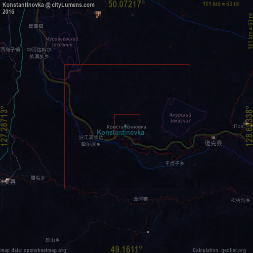
Analysis of Konstantinovka night lights 2016
Square area 10x10 km:
 0%
0%90-99
0%80-89
0%70-79
0%60-69
0%50-59
0%40-49
0%30-39
0.58%20-29
0%10-19
0%0-9
99.42%Square area 50x50 km:
0%90-99
0%80-89
0%70-79
0%60-69
0%50-59
0%40-49
0%30-39
0.02%20-29
0%10-19
0%0-9
99.98%Clear (daylight) street map image can be seen on geolist.org.
Map coordinates:
50° 4' 19.8" North, 127° 17' 13.7" East
49° 37' 7.5" North, 127° 59' 24.9" East
49° 9' 40" North, 128° 41' 36.2" East
Some cities around Konstantinovka sort by population:
• Blagoveshchensk
80.2 km =49.8 mi,  336°
336°
• Heihe, CN
78.2 km =48.6 mi,  332°
332°
• Raychikhinsk
103.8 km =64.5 mi,  79°
79°
• Zavitinsk
117.5 km =73 mi,  62°
62°
• Yekaterinoslavka
115.9 km =72 mi,  43°
43°
• Tambovka
53.7 km =33.4 mi,  5°
5°
• Poyarkovo
47.8 km =29.7 mi,  88°
88°
• Srednebelaya
115.6 km =71.8 mi,  0°
0°
2021799 (p: 5,702)
Sources (retrieved 2019-11-25):
» Earth at Night: Flat Maps 2012, 2016